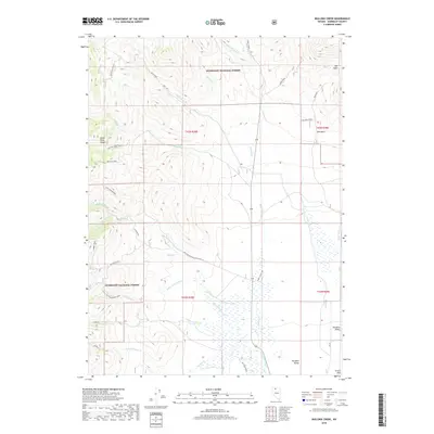
2018 Map of Mullinix Creek
USGS Topo · Published 2018About this map
The Santa Rosa Range dominates this portion of the Humboldt National Forest in northern Nevada, where high-elevation drainage systems define the landscape. Water flows from the peaks through a series of canyons, including Mullinix Creek, Big Cottonwood Creek, and Little Cottonwood Creek, eventually reaching the floor of Paradise Valley. This 2018 survey documents a region where access is primarily via forest development roads and primitive paths like the Summit Trail and the Lost Motor Trail.
Find a feature on this map
33 named features on this map. Tap any name to fly to it.
Don’t see what you’re looking for? This feature index may not catch every label — zoom into the map to look around manually.
Map Details
Editions of this 2018 Mullinix Creek Map
This is the sole edition of this map. No revisions or reprints were ever made.
Other maps of this area

1882 · Paradise
USGS Topo · 1:250,000

1893 · Paradise
USGS Topo · 1:250,000

1945 · Hot Springs
USGS Topo · 1:62,500

1947 · Hot Springs Peak
USGS Topo · 1:62,500

1955 · McDermitt
USGS Topo · 1:250,000

1958 · Paradise Valley
USGS Topo · 1:62,500

1959 · McDermitt
USGS Topo · 1:250,000

1959 · Hinkey Summit
USGS Topo · 1:62,500

1980 · Black Ridge
USGS Topo · 1:24,000

1980 · Spring City
USGS Topo · 1:24,000