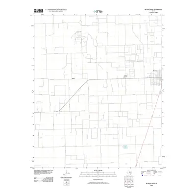
2010 Map of Munday West
USGS Topo · Published 2010About this map
The town of Munday anchor the eastern edge of this agricultural landscape in Knox County, where the transition from town streets to a geometric grid of rural roads is immediate. This 2010 survey illustrates a region defined by extensive farm-to-market infrastructure, including Fm 2534, Fm 3202, and Fm 1043, which connect scattered homesteads and the community of Sunset. The terrain is generally flat, marked by water features such as Griffin Lake and Reid Lake in the southern portion of the quadrangle.
Find a feature on this map
49 named features on this map. Tap any name to fly to it.
Don’t see what you’re looking for? This feature index may not catch every label — zoom into the map to look around manually.
Map Details
Editions of this 2010 Munday West Map
This is the sole edition of this map. No revisions or reprints were ever made.
Other maps of this area

1954 · Wichita Falls
USGS Topo · 1:250,000

1958 · Wichita Falls
USGS Topo · 1:250,000

1967 · Hefner
USGS Topo · 1:24,000

1967 · Benjamin
USGS Topo · 1:24,000

1967 · Rochester
USGS Topo · 1:24,000

1967 · Weinert
USGS Topo · 1:24,000

1967 · Rhineland
USGS Topo · 1:24,000

1967 · Mattson
USGS Topo · 1:24,000

1968 · Munday West
USGS Topo · 1:24,000
1968 · Munday East
USGS Topo · 1:24,000