
1968 Map of Munday West
USGS Topo · Published 1970About this map
The Oil Field and numerous Oil Wells across the northern landscape define the petroleum-driven economy of this portion of West Texas in the late 1960s. Straddling the Knox Co Haskell Co line, the terrain is marked by a network of ranch roads and section lines connecting small community hubs. The western edge of Munday is visible, featuring a High Sch and nearby Radio Tower, while the settlement of Sunset sits at a highway junction to the west. Local social and family history is anchored at the Gillespie Ch and its adjacent Gillespie Ch Cem, along with the Johnson Memorial Cem further east. Transportation is dominated by the Fort Worth and Denver railroad line and a local Drive-in Theater at the Tackitt property, reflecting mid-century rural lifestyle and land use.
Find a feature on this map
16 named features on this map. Tap any name to fly to it.
Don’t see what you’re looking for? This feature index may not catch every label — zoom into the map to look around manually.
Map Details
Editions of this 1968 Munday West Map
This is the sole edition of this map. No revisions or reprints were ever made.
Other maps of this area

1954 · Wichita Falls
USGS Topo · 1:250,000

1958 · Wichita Falls
USGS Topo · 1:250,000

1967 · Hefner
USGS Topo · 1:24,000

1967 · Benjamin
USGS Topo · 1:24,000

1967 · Rochester
USGS Topo · 1:24,000

1967 · Weinert
USGS Topo · 1:24,000

1967 · Rhineland
USGS Topo · 1:24,000

1967 · Mattson
USGS Topo · 1:24,000
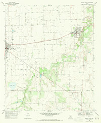
1968 · Munday East
USGS Topo · 1:24,000
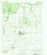
1968 · Knox City
USGS Topo · 1:24,000