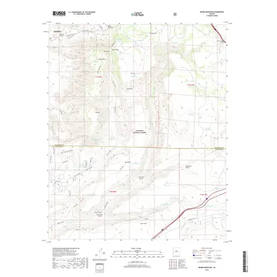
2018 Map of Munds Mountain
USGS Topo · Published 2018About this map
Coconino National Forest dominates this high-altitude landscape where the complex drainage systems of the Mogollon Rim transition into the high desert. The map captures a topography defined by significant vertical relief, where landmarks like Schnebly Hill and the Merry-Go-Round formation overlook deep incisions such as Damfino Canyon and Mortgage Draw. The presence of numerous water catchments, including Munds Tank and Committee Tank, illustrates the critical importance of water management in this arid environment, specifically supporting the livestock and wildlife that traverse the plateau.
Find a feature on this map
52 named features on this map. Tap any name to fly to it.
Don’t see what you’re looking for? This feature index may not catch every label — zoom into the map to look around manually.
Map Details
Editions of this 2018 Munds Mountain Map
This is the sole edition of this map. No revisions or reprints were ever made.
Other maps of this area

1887 · Verde
USGS Topo · 1:250,000

1892 · Verde
USGS Topo · 1:250,000

1923 · Camp Verde
USGS Topo · 1:125,000

1932 · Camp Verde
USGS Topo · 1:125,000

1936 · Camp Verde
USGS Topo · 1:125,000

1954 · Holbrook
USGS Topo · 1:250,000

1957 · Holbrook
USGS Topo · 1:250,000

1958 · Holbrook
USGS Topo · 1:250,000

1960 · Holbrook
USGS Topo · 1:250,000
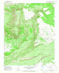
1965 · Munds Mountain
USGS Topo · 1:24,000