
1931 Map of Munising SE
USGS Topo · Published 1931About this map
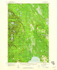
The vast wetlands and timberlands of the Hiawatha National Forest dominate this Upper Peninsula landscape during the early 1930s. This survey reveals a region defined by its industrial rail network, where the Duluth South Shore and Atlantic and the Lake Superior and Ishpeming lines converge near the northern boundary. Smaller settlements like Evelyn and Doty appear along these tracks, serving as critical points in the local transit and logging economy.
Find a feature on this map
15 named features on this map. Tap any name to fly to it.
Don’t see what you’re looking for? This feature index may not catch every label — zoom into the map to look around manually.
Map Details
Editions of this 1931 Munising SE Map
This is the sole edition of this map. No revisions or reprints were ever made.
Other maps of this area

1931 · Shingleton SW
USGS Topo · 1:31,680

1931 · Steuben NW
USGS Topo · 1:31,680

1931 · Skeels Lake NE
USGS Topo · 1:31,680

1958 · Corner Lake
USGS Topo · 1:62,500

1958 · Munising
USGS Topo · 1:62,500

1958 · Shingleton
USGS Topo · 1:62,500
1958 · Steuben
USGS Topo · 1:62,500

1958 · Marquette
USGS Topo · 1:250,000

1960 · Marquette
USGS Topo · 1:250,000

1961 · Marquette
USGS Topo · 1:250,000