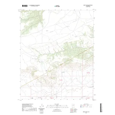
2023 Map of Muniz Canyon
USGS Topo · Published 2023About this map
Mesa Rica dominates the northern landscape of this region, serving as a high tableland where drainage systems like Aragon Creek and Oso Creek originate. The territory is defined by its watershed management, evidenced by numerous named water catchments such as Middle Tank, Horton Tank, and Muniz Tank. These features suggest a landscape primarily utilized for livestock and ranching, where reliable water access is critical for land use.
Find a feature on this map
22 named features on this map. Tap any name to fly to it.
Don’t see what you’re looking for? This feature index may not catch every label — zoom into the map to look around manually.
Map Details
Editions of this 2023 Muniz Canyon Map
This is the sole edition of this map. No revisions or reprints were ever made.
Other maps of this area

1930 · Tucumcari
USGS Topo · 1:125,000

1954 · Santa Fe
USGS Topo · 1:250,000

1954 · Tucumcari
USGS Topo · 1:250,000

1958 · Santa Fe
USGS Topo · 1:250,000

1958 · Tucumcari
USGS Topo · 1:250,000

1964 · Muniz Canyon
USGS Topo · 1:24,000

1964 · Gate Canyon
USGS Topo · 1:24,000
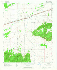
1964 · Montoya
USGS Topo · 1:24,000

1964 · Ortega Tank
USGS Topo · 1:24,000

1967 · Tenaja Mesa
USGS Topo · 1:24,000