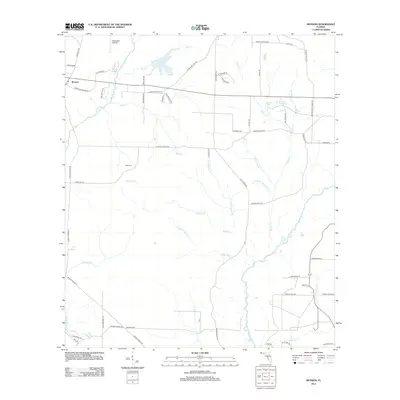
2024 Map of Munson
USGS Topo · Published 2024About this map
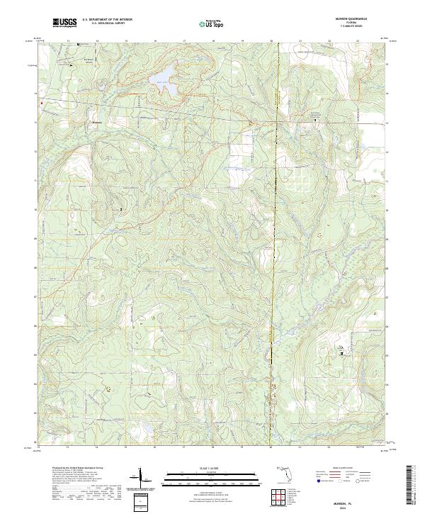
Munson and the surrounding pine-dominated lowlands of the Florida Panhandle are defined here by a dense network of forest roads and winding waterways. The landscape is heavily influenced by the Blackwater River, which is fed by numerous tributaries including Middle Creek, Lighter Knot Creek, and Alligator Creek. This 2024 map documents a managed forest environment where timber-industry history meets contemporary recreation, shown by the extensive Blackwater River State Forest Trails Trl and the Florida National Scenic Trl.
Find a feature on this map
121 named features on this map. Tap any name to fly to it.
Don’t see what you’re looking for? This feature index may not catch every label — zoom into the map to look around manually.
Map Details
Editions of this 2024 Munson Map
This is the sole edition of this map. No revisions or reprints were ever made.
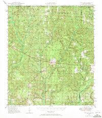
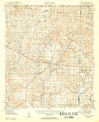
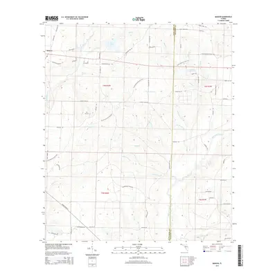
Historical Maps of Munson Through Time
8 maps found