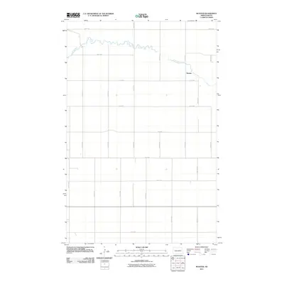
2011 Map of Munster
USGS Topo · Published 2011About this map
The James River meanders through the northern portion of this North Dakota landscape, carving a winding path through the prairie of Eddy County. This 2011 survey by the U.S. Geological Survey captures the rural character of the region, centered on the small settlement of Munster. The landscape is organized by a precise grid of agricultural service roads, including east-west thoroughfares such as 23rd St NE and 15th St NE, which intersect with north-south routes like 55th Ave NE and 62nd Ave NE. This geometry illustrates the systematic land division typical of the Great Plains, where transportation and settlement are dictated by the section line grid. The map provides a clear record of the intersection of natural hydrology and human-made infrastructure in this quiet corner of the state.
Find a feature on this map
18 named features on this map. Tap any name to fly to it.
Don’t see what you’re looking for? This feature index may not catch every label — zoom into the map to look around manually.
Map Details
Editions of this 2011 Munster Map
This is the sole edition of this map. No revisions or reprints were ever made.
Other maps of this area

1931 · Oberon
USGS Topo · 1:62,500

1932 · Flora
USGS Topo · 1:62,500

1948 · New Rockford
USGS Topo · 1:62,500

1948 · Cathay
USGS Topo · 1:62,500

1948 · Bremen
USGS Topo · 1:24,000

1949 · Bremen
USGS Topo · 1:24,000

1949 · Cathay
USGS Topo · 1:24,000

1949 · Cathay SE
USGS Topo · 1:24,000

1949 · Munster
USGS Topo · 1:24,000

1950 · New Rockford
USGS Topo · 1:24,000