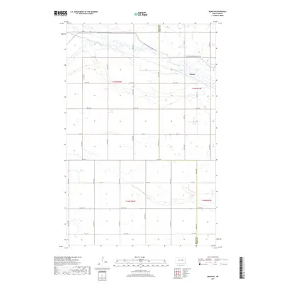
2017 Map of Munster
USGS Topo · Published 2017About this map
The James River meanders through the northern plains of this central North Dakota landscape, carving a distinctive path across the terrain near the small community of Munster. The geography here is defined by its wide, open section lines and a grid of rural roads such as Co Rd 12 and Co Rd 2 that delineate the agricultural heartland. A notable modern recreational corridor, the N Country National Scenic Trail, traverses the northern portion of the quadrangle, crossing the river and following the subtle elevations of the surrounding countryside. This survey captures the rural character of the Wells and Eddy county border, where the land is primarily organized by the Public Land Survey System into townships like t149n r67w and t148n r68w.
Find a feature on this map
27 named features on this map. Tap any name to fly to it.
Don’t see what you’re looking for? This feature index may not catch every label — zoom into the map to look around manually.
Map Details
Editions of this 2017 Munster Map
This is the sole edition of this map. No revisions or reprints were ever made.
Other maps of this area

1931 · Oberon
USGS Topo · 1:62,500

1932 · Flora
USGS Topo · 1:62,500

1948 · New Rockford
USGS Topo · 1:62,500

1948 · Cathay
USGS Topo · 1:62,500

1948 · Bremen
USGS Topo · 1:24,000

1949 · Bremen
USGS Topo · 1:24,000

1949 · Cathay
USGS Topo · 1:24,000

1949 · Cathay SE
USGS Topo · 1:24,000

1949 · Munster
USGS Topo · 1:24,000

1950 · New Rockford
USGS Topo · 1:24,000