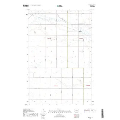
2020 Map of Munster
USGS Topo · Published 2020About this map
Munster lies at the intersection of the James River and the rural boundary between Wells Co and Eddy Co in this modern topographic study. The landscape is defined by the wandering course of the river as it meanders through T149N R67W, flanked by numerous small wetlands and prairie potholes characteristic of this region of North Dakota. For those exploring the area's natural corridors, the N Country National Scenic Trail traverses the northern portion of the quadrangle, crossing the river valley near Co Rd 5. The township grid system is well-defined by a network of local roads including 22nd St NE and Co Rd 2, which provide access to the dispersed farmsteads and agricultural plots that dominate the terrain.
Find a feature on this map
18 named features on this map. Tap any name to fly to it.
Don’t see what you’re looking for? This feature index may not catch every label — zoom into the map to look around manually.
Map Details
Editions of this 2020 Munster Map
This is the sole edition of this map. No revisions or reprints were ever made.
Other maps of this area

1931 · Oberon
USGS Topo · 1:62,500

1932 · Flora
USGS Topo · 1:62,500

1948 · New Rockford
USGS Topo · 1:62,500

1948 · Cathay
USGS Topo · 1:62,500

1948 · Bremen
USGS Topo · 1:24,000

1949 · Bremen
USGS Topo · 1:24,000

1949 · Cathay
USGS Topo · 1:24,000

1949 · Cathay SE
USGS Topo · 1:24,000

1949 · Munster
USGS Topo · 1:24,000

1950 · New Rockford
USGS Topo · 1:24,000