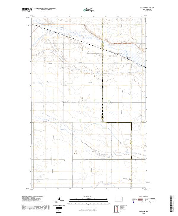
2024 Map of Munster
USGS Topo · Published 2024About this map
Munster and the surrounding prairie of Wells and Eddy Counties are defined by the meandering path of the James River, which snakes across the northern sections of this quadrangle. The landscape is characterized by its high-plains hydrology, with numerous small potholes and wetlands protected within the Wells County Waterfowl Production Area. This 2024 survey documents a classic North Dakota township-and-range grid, where local travel is facilitated by corridors such as Co Rd 5 and 16th St Ne. For those exploring on foot, the North Country National Scenic Trl provides a dedicated route across the river valley, offering a distinct perspective on the rural terrain separate from the section-line road network.
Find a feature on this map
19 named features on this map. Tap any name to fly to it.
Don’t see what you’re looking for? This feature index may not catch every label — zoom into the map to look around manually.
Map Details
Editions of this 2024 Munster Map
This is the sole edition of this map. No revisions or reprints were ever made.
Other maps of this area

1931 · Oberon
USGS Topo · 1:62,500

1932 · Flora
USGS Topo · 1:62,500

1948 · New Rockford
USGS Topo · 1:62,500

1948 · Cathay
USGS Topo · 1:62,500

1948 · Bremen
USGS Topo · 1:24,000

1949 · Bremen
USGS Topo · 1:24,000

1949 · Cathay
USGS Topo · 1:24,000

1949 · Cathay SE
USGS Topo · 1:24,000

1949 · Munster
USGS Topo · 1:24,000

1950 · New Rockford
USGS Topo · 1:24,000