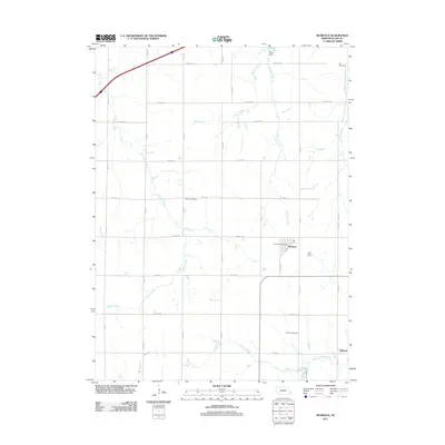
2011 Map of Murdock
USGS Topo · Published 2011About this map
Murdock and the smaller settlement of Wabash anchor this agricultural landscape in Cass County, where the township grid is deeply etched into the Nebraska prairie. This 2011 survey illustrates a region defined by its watercourses, notably Weeping Water Creek and its many tributaries like Callahan Creek and Beaver Creek that cut across the rolling fields. The map is particularly useful for genealogical research, documenting several distinct burial grounds including Hill Cemetery in the northeast and Wabash Cemetery to the south. Local commerce remains centered around the Murdock Post Office, while the northern reach features Pawnee Lake and the Wiles Dam. The network of section-line roads, such as Alvo Rd and Mynard Rd, underscores the persistence of the historic land ordinance system in this quiet corner of the state.
Find a feature on this map
31 named features on this map. Tap any name to fly to it.
Don’t see what you’re looking for? This feature index may not catch every label — zoom into the map to look around manually.
Map Details
Editions of this 2011 Murdock Map
This is the sole edition of this map. No revisions or reprints were ever made.
Other maps of this area

1893 · Fremont
USGS Topo · 1:125,000

1896 · Fremont
USGS Topo · 1:125,000

1903 · Weeping Water
USGS Topo · 1:125,000

1929 · Weeping Water
USGS Topo · 1:125,000

1955 · Fremont
USGS Topo · 1:250,000

1955 · Lincoln
USGS Topo · 1:250,000

1956 · Springfield
USGS Topo · 1:24,000

1957 · Fremont
USGS Topo · 1:250,000

1957 · Lincoln
USGS Topo · 1:250,000

1958 · Fremont
USGS Topo · 1:250,000