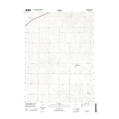
2014 Map of Murdock
USGS Topo · Published 2014About this map
Murdock and Wabash serve as the primary population centers in this portion of Cass County, which is defined by a grid of agricultural section roads and a complex network of prairie creeks. Local genealogy is well-preserved through several rural burial grounds, including Callahan Cem and Hill Cem in the north and Wabash Cem to the south. The terrain is deeply carved by water, with Callahan Cr and Pawnee Cr draining the central landscape, while Weeping Water Cr flows across the southern boundary near Wabash. The presence of Pawnee Lake in the northeast corner and the intersection of established routes like Church Rd and Waverly Rd reflect the enduring rural infrastructure of the early 21st century.
Find a feature on this map
38 named features on this map. Tap any name to fly to it.
Don’t see what you’re looking for? This feature index may not catch every label — zoom into the map to look around manually.
Map Details
Editions of this 2014 Murdock Map
This is the sole edition of this map. No revisions or reprints were ever made.
Other maps of this area

1893 · Fremont
USGS Topo · 1:125,000

1896 · Fremont
USGS Topo · 1:125,000

1903 · Weeping Water
USGS Topo · 1:125,000

1929 · Weeping Water
USGS Topo · 1:125,000

1955 · Fremont
USGS Topo · 1:250,000

1955 · Lincoln
USGS Topo · 1:250,000

1956 · Springfield
USGS Topo · 1:24,000

1957 · Fremont
USGS Topo · 1:250,000

1957 · Lincoln
USGS Topo · 1:250,000

1958 · Fremont
USGS Topo · 1:250,000