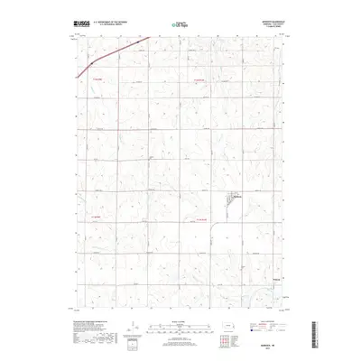
2017 Map of Murdock
USGS Topo · Published 2017About this map
Murdock and Wabash anchor this section of Cass County, where the agricultural grid of eastern Nebraska is punctuated by a network of drainage creeks. The landscape is defined by the branching waters of Callahan Cr and Beaver Cr, which feed into the larger Weeping Water Cr at the southern edge of the survey. The placement of Hill Cem, Callahan Cem, and Wabash Cem offers clear landmarks for genealogical research, often positioned near the early road intersections that shaped these rural communities. To the north, Pawnee Lake and Pawnee Cr break the pattern of section lines. The map details a strictly organized township system, including portions of t12n r9e, t12n r10e, t11n r9e, and t11n r10e, showing how transportation evolved along named routes like Waverly Rd and Mynard Rd.
Find a feature on this map
28 named features on this map. Tap any name to fly to it.
Don’t see what you’re looking for? This feature index may not catch every label — zoom into the map to look around manually.
Map Details
Editions of this 2017 Murdock Map
This is the sole edition of this map. No revisions or reprints were ever made.
Other maps of this area

1893 · Fremont
USGS Topo · 1:125,000

1896 · Fremont
USGS Topo · 1:125,000

1903 · Weeping Water
USGS Topo · 1:125,000

1929 · Weeping Water
USGS Topo · 1:125,000

1955 · Fremont
USGS Topo · 1:250,000

1955 · Lincoln
USGS Topo · 1:250,000

1956 · Springfield
USGS Topo · 1:24,000

1957 · Fremont
USGS Topo · 1:250,000

1957 · Lincoln
USGS Topo · 1:250,000

1958 · Fremont
USGS Topo · 1:250,000