2021 Map of Murdock
USGS Topo · Published 2021About this map
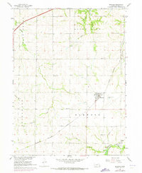
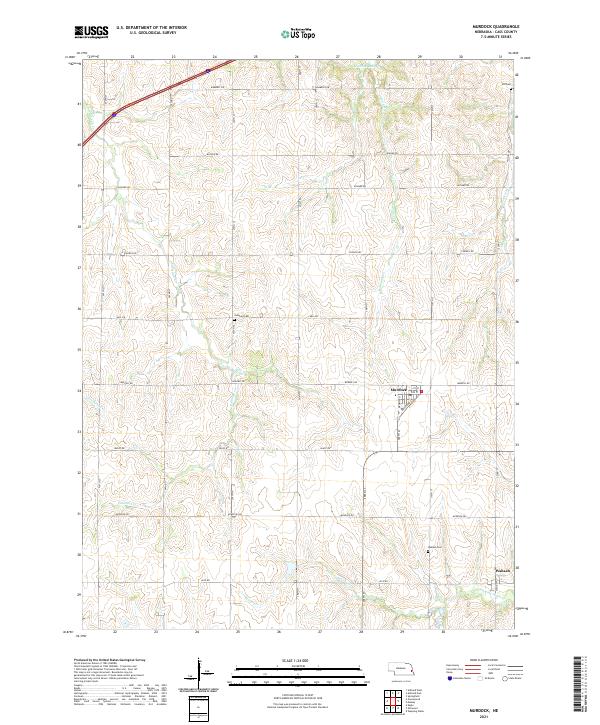
Murdock serves as the central hub of this Cass County landscape, situated where Railroad St and Wyoming St form the village core. The surrounding terrain is defined by a dense network of drainages including Callahan Cr, Pawnee Cr, and Beaver Cr, which carve through the agricultural uplands. The presence of several historic burial grounds, such as Callahan Cem and Hill Cem in the north and Wabash Cem near the southern settlement of Wabash, provides significant markers for local genealogical research. In the far northwestern corner, the modern corridor of I-80 cuts across the township lines, contrasting with the section-line grid of rural roads like Church Rd and Waverly Rd that have long structured this farming community. The southern portion of the map is anchored by the winding path of Weeping Water Cr, a major local waterway.
Find a feature on this map
31 named features on this map. Tap any name to fly to it.
Don’t see what you’re looking for? This feature index may not catch every label — zoom into the map to look around manually.
Map Details
Editions of this 2021 Murdock Map
This is the sole edition of this map. No revisions or reprints were ever made.