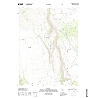
2018 Map of Murken Bench
USGS Topo · Published 2018About this map
Lassen National Forest terrain dominates this portion of Shasta County, defined by the sharp verticality of the Hat Creek Rim and the volcanic presence of Cinder Butte. The landscape is a study in water management and transit through the high country, where the Pacific Crest National Scenic Trail winds southward across the Murken Bench. The area is dotted with localized water sources such as Moon Springs Reservoir, Alcohol Jacks Reservoir, and Government Lake, reflecting the essential nature of water storage in this timbered and volcanic environment. The western edge of the map shows the transition into Hat Creek Valley, where the settlement of Hat Creek is situated near the junction of Ca 89 and Wilcox Road. This 2018 survey provides a clear view of the complex forest road network, including Bidwell Road and Six Mile Hill, used for regional land management and recreational access.
Find a feature on this map
32 named features on this map. Tap any name to fly to it.
Don’t see what you’re looking for? This feature index may not catch every label — zoom into the map to look around manually.
Map Details
Editions of this 2018 Murken Bench Map
This is the sole edition of this map. No revisions or reprints were ever made.
Other maps of this area

1886 · Lassen Peak
USGS Topo · 1:250,000

1892 · Lassen Peak
USGS Topo · 1:250,000

1894 · Lassen Peak
USGS Topo · 1:250,000

1935 · Burney
USGS Topo · 1:96,000

1939 · Burney
USGS Topo · 1:125,000

1939 · Halls Flat
USGS Topo · 1:125,000

1955 · Westwood
USGS Topo · 1:250,000

1956 · Manzanita Lake
USGS Topo · 1:62,500

1957 · Prospect Peak
USGS Topo · 1:62,500

1957 · Burney
USGS Topo · 1:62,500