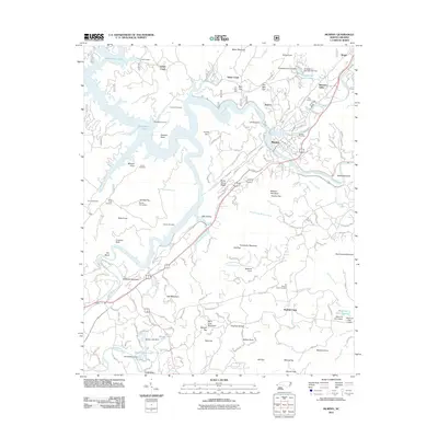
2011 Map of Murphy
USGS Topo · Published 2011About this map
The Hiwassee River and Valley River converge at Murphy, the historic county seat of Cherokee County, where the town’s layout follows the natural topography of the river bluffs. This 2011 survey documents the established community and its outlying settlements such as Texana, Regal, and Martins Creek. The terrain is defined by named heights like Fort Butler Mountain and Wildcat Mountain, while the hydrology is marked by several impoundments including Persimmon Lake, Brewer Lake, and Tanglewood Lake Upper. Genealogy researchers can find several burial sites preserved on the landscape, from Sunset Cemetery in town to rural locations like the Old Martins Creek Cemetery and Hiwassee Cemetery. The presence of the Blue Quarry and landmarks like Dukes Lodge reflect the mixed industrial and recreational use of the land along the Nottely River and its various tributaries during the early 21st century.
Find a feature on this map
142 named features on this map. Tap any name to fly to it.
Don’t see what you’re looking for? This feature index may not catch every label — zoom into the map to look around manually.
Map Details
Editions of this 2011 Murphy Map
This is the sole edition of this map. No revisions or reprints were ever made.
Other maps of this area

1886 · Dahlonega
USGS Topo · 1:125,000

1888 · Ellijay
USGS Topo · 1:125,000

1892 · Dahlonega
USGS Topo · 1:125,000

1892 · Ellijay
USGS Topo · 1:125,000

1893 · Murphy
USGS Topo · 1:125,000

1896 · Dahlonega
USGS Topo · 1:125,000

1898 · Ellijay
USGS Topo · 1:125,000

1903 · Dahlonega
USGS Topo · 1:125,000

1911 · Ellijay
USGS Topo · 1:125,000

1914 · Murphy
USGS Topo · 1:125,000