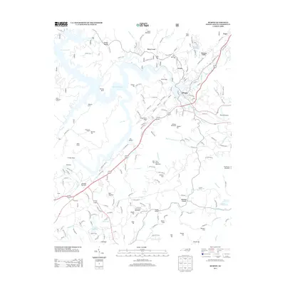
2013 Map of Murphy
USGS Topo · Published 2013About this map
The Hiwassee River and Valley River converge at Murphy, the central hub of this Cherokee County landscape. In the early 21st century, the area shows a mix of established residential centers like Texana and Pleasant Valley alongside specialized land uses such as the Beech Creek Seed Orchard. Water remains a defining characteristic of the terrain, from the sprawling reaches of Persimmon Lake in the northwest to the smaller, family-named Brewer Lake and Harold Wells Lake in the south.
Find a feature on this map
181 named features on this map. Tap any name to fly to it.
Don’t see what you’re looking for? This feature index may not catch every label — zoom into the map to look around manually.
Map Details
Editions of this 2013 Murphy Map
This is the sole edition of this map. No revisions or reprints were ever made.
Other maps of this area

1886 · Dahlonega
USGS Topo · 1:125,000

1888 · Ellijay
USGS Topo · 1:125,000

1892 · Dahlonega
USGS Topo · 1:125,000

1892 · Ellijay
USGS Topo · 1:125,000

1893 · Murphy
USGS Topo · 1:125,000

1896 · Dahlonega
USGS Topo · 1:125,000

1898 · Ellijay
USGS Topo · 1:125,000

1903 · Dahlonega
USGS Topo · 1:125,000

1911 · Ellijay
USGS Topo · 1:125,000

1914 · Murphy
USGS Topo · 1:125,000