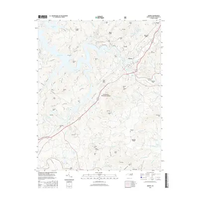
2016 Map of Murphy
USGS Topo · Published 2016About this map
Murphy serves as the focal point of this Cherokee County landscape, situated at the confluence of the Hiwassee River and the Valley River in western North Carolina. The topography is defined by the expansive Nantahala National Forest, where steep ridges like Wildcat Mtn and Panther Top rise above the complex shorelines of Hiwassee Lake and Persimmon Lake. The map reveals a high concentration of family and community landmarks, particularly within the smaller settlements of Texana, Pleasant Valley, and Martins Creek. Genealogists will find numerous burial grounds preserved across the terrain, including Clounts Cemetary, Sunset Cem, and the Old Martins Creek Cem. The transition from old thoroughfares like the Old Murphy Hwy to modern infrastructure illustrates the persistent importance of this river-valley corridor for transport and regional settlement in the southern Appalachians.
Find a feature on this map
85 named features on this map. Tap any name to fly to it.
Don’t see what you’re looking for? This feature index may not catch every label — zoom into the map to look around manually.
Map Details
Editions of this 2016 Murphy Map
This is the sole edition of this map. No revisions or reprints were ever made.
Other maps of this area

1886 · Dahlonega
USGS Topo · 1:125,000

1888 · Ellijay
USGS Topo · 1:125,000

1892 · Dahlonega
USGS Topo · 1:125,000

1892 · Ellijay
USGS Topo · 1:125,000

1893 · Murphy
USGS Topo · 1:125,000

1896 · Dahlonega
USGS Topo · 1:125,000

1898 · Ellijay
USGS Topo · 1:125,000

1903 · Dahlonega
USGS Topo · 1:125,000

1911 · Ellijay
USGS Topo · 1:125,000

1914 · Murphy
USGS Topo · 1:125,000