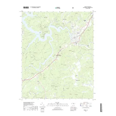
2019 Map of Murphy
USGS Topo · Published 2019About this map
Murphy serves as the focal point of this western North Carolina landscape where the Hiwassee River and Valley River converge. The topography is defined by significant ridges and gaps within the Nantahala National Forest, including heights like Fort Butler Mtn and Wildcat Mtn. To the west, the waters of Persimmon Lake are framed by several family burial sites, including Timpson Cem and Clounts Cemetery, indicating long-standing settlement patterns in the valleys.
Find a feature on this map
92 named features on this map. Tap any name to fly to it.
Don’t see what you’re looking for? This feature index may not catch every label — zoom into the map to look around manually.
Map Details
Editions of this 2019 Murphy Map
This is the sole edition of this map. No revisions or reprints were ever made.
Other maps of this area

1886 · Dahlonega
USGS Topo · 1:125,000

1888 · Ellijay
USGS Topo · 1:125,000

1892 · Dahlonega
USGS Topo · 1:125,000

1892 · Ellijay
USGS Topo · 1:125,000

1893 · Murphy
USGS Topo · 1:125,000

1896 · Dahlonega
USGS Topo · 1:125,000

1898 · Ellijay
USGS Topo · 1:125,000

1903 · Dahlonega
USGS Topo · 1:125,000

1911 · Ellijay
USGS Topo · 1:125,000

1914 · Murphy
USGS Topo · 1:125,000