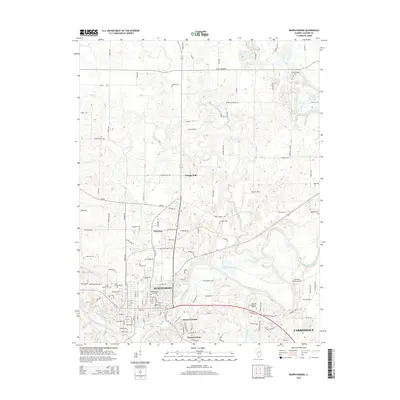
2015 Map of Murphysboro
USGS Topo · Published 2015About this map
Murphysboro serves as the focal point of this Jackson County landscape, where the Big Muddy River winds eastward toward the western edge of Carbondale. The river’s path is flanked by industrial and historical markers, from the rail-oriented origins of Mount Carbon and Texas Junction to the active operations of the Southern Illinois Airport. Local transit and land use patterns are defined by a network of rural routes such as Truax Traer Rd and Kimmel Bridge Rd, reflecting the area's transition from agricultural foundations to modern infrastructure.
Find a feature on this map
132 named features on this map. Tap any name to fly to it.
Don’t see what you’re looking for? This feature index may not catch every label — zoom into the map to look around manually.
Map Details
Editions of this 2015 Murphysboro Map
This is the sole edition of this map. No revisions or reprints were ever made.
Other maps of this area

1910 · Herrin
USGS Topo · 1:62,500

1910 · Murphysboro
USGS Topo · 1:62,500

1922 · Carbondale
USGS Topo · 1:62,500

1924 · Alto Pass
USGS Topo · 1:62,500

1936 · Herrin
USGS Topo · 1:62,500

1938 · Murphysboro
USGS Topo · 1:62,500

1941 · Carbondale
USGS Topo · 1:62,500

1947 · Alto Pass
USGS Topo · 1:62,500

1947 · Gorham
USGS Topo · 1:24,000
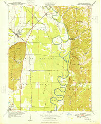
1948 · Gorham
USGS Topo · 1:24,000