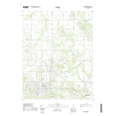
2021 Map of Murphysboro
USGS Topo · Published 2021About this map
The Big Muddy River meanders through this portion of Jackson County, Illinois, anchoring a landscape where the dense street grid of Murphysboro meets the westward expansion of Carbondale. At the heart of Murphysboro, the Jackson County Courthouse stands as a central civic landmark, surrounded by established neighborhoods and industrial areas like W Industrial Park Rd. The map reveals a transition from the urban centers to the smaller outlying communities of Harrison and Mount Carbon, emphasizing the historical importance of these settlements along the river corridor.
Find a feature on this map
158 named features on this map. Tap any name to fly to it.
Don’t see what you’re looking for? This feature index may not catch every label — zoom into the map to look around manually.
Map Details
Editions of this 2021 Murphysboro Map
This is the sole edition of this map. No revisions or reprints were ever made.
Other maps of this area

1910 · Herrin
USGS Topo · 1:62,500

1910 · Murphysboro
USGS Topo · 1:62,500

1922 · Carbondale
USGS Topo · 1:62,500

1924 · Alto Pass
USGS Topo · 1:62,500

1936 · Herrin
USGS Topo · 1:62,500

1938 · Murphysboro
USGS Topo · 1:62,500

1941 · Carbondale
USGS Topo · 1:62,500

1947 · Alto Pass
USGS Topo · 1:62,500

1947 · Gorham
USGS Topo · 1:24,000
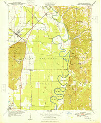
1948 · Gorham
USGS Topo · 1:24,000