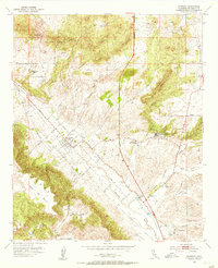
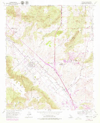
1953 Map of Murrieta
USGS Topo · Published 1955About this map
Murrieta centers this mid-century portrait of southern Riverside County, showing the town's early street grid anchored by Washington Street and Kalmia St. The landscape is a transition from the level floor of the Murrieta Creek valley to the high tablelands of Mesa de Burro and Mesa de la Punta in the southwest. A distinct resort economy is evident through the presence of Murrieta Hot Springs and Temecula Hot Springs, while scattered prospects and numerous windmills reveal the area's agricultural and mining attempts. The presence of Laurel Cem and isolated homesteads like Oak Springs Ranch provide essential data points for local historians and genealogists. Water sources such as Iodine Spr and Adobe Spr appear as vital landmarks in this arid terrain, situated alongside natural geologic features like the Hogbacks.
Find a feature on this map
36 named features on this map. Tap any name to fly to it.
Don’t see what you’re looking for? This feature index may not catch every label — zoom into the map to look around manually.
Map Details
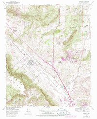
Editions of this 1953 Murrieta Map
6 editions found
Other maps of this area

1901 · Southern California Sheet No. 1
USGS Topo · 1:250,000

1901 · Elsinore
USGS Topo · 1:125,000

1901 · San Luis Rey
USGS Topo · 1:125,000

1904 · Southern California Sheet No. 2
USGS Topo · 1:250,000

1904 · Southern California Sheet No. 1
USGS Topo · 1:250,000

1941 · Margarita Peak
USGS Topo · 1:62,500

1942 · Lake Elsinore
USGS Topo · 1:62,500

1942 · Margarita Peak
USGS Topo · 1:62,500

1942 · Temecula
USGS Topo · 1:62,500

1942 · Murrieta
USGS Topo · 1:62,500