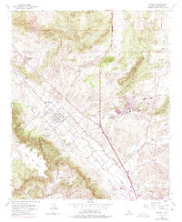
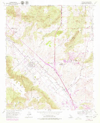
1953 Map of Murrieta
USGS Topo · Published 1975About this map
The town of Murrieta serves as the focal point of this Inland Empire landscape, which underwent significant documentation during the mid-20th century. The settlement pattern follows the Atchison Topeka and Santa Fe railroad line, which runs parallel to Murrieta Creek. Notable recreational and medicinal destinations like Murrieta Hot Springs and Temecula Hot Springs highlight the importance of the local geothermal features and the transition of the area toward tourism and health retreats.
Find a feature on this map
41 named features on this map. Tap any name to fly to it.
Don’t see what you’re looking for? This feature index may not catch every label — zoom into the map to look around manually.
Map Details
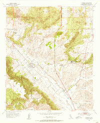
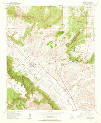
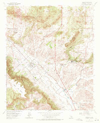
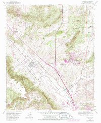
Editions of this 1953 Murrieta Map
6 editions found
Other maps of this area

1901 · Southern California Sheet No. 1
USGS Topo · 1:250,000

1901 · Elsinore
USGS Topo · 1:125,000

1901 · San Luis Rey
USGS Topo · 1:125,000

1904 · Southern California Sheet No. 2
USGS Topo · 1:250,000

1904 · Southern California Sheet No. 1
USGS Topo · 1:250,000

1941 · Margarita Peak
USGS Topo · 1:62,500

1942 · Lake Elsinore
USGS Topo · 1:62,500

1942 · Margarita Peak
USGS Topo · 1:62,500

1942 · Temecula
USGS Topo · 1:62,500

1942 · Murrieta
USGS Topo · 1:62,500