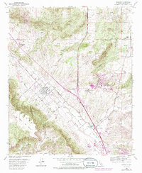
1953 Map of Murrieta
USGS Topo · Published 1986About this map
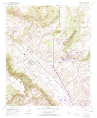
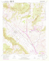
Murrieta serves as the focal point of this Inland Empire landscape, shown at a time when the community was defined by a grid of streets including Washington Street and Adams Street. The area's geothermal heritage is evident at Murrieta Hot Springs and Temecula Hot Springs, while the agricultural character is highlighted by Oak Springs Ranch and the open terrain of Walker Basin. The hydrology of the region is centered on the confluence of Murrieta Creek with Warm Springs Creek and Santa Gertrudis Creek, which navigate between the prominent Hogbacks and the sprawling Santa Rosa Mesa.
Find a feature on this map
48 named features on this map. Tap any name to fly to it.
Don’t see what you’re looking for? This feature index may not catch every label — zoom into the map to look around manually.
Map Details
Editions of this 1953 Murrieta Map
6 editions found
Other maps of this area

1901 · Southern California Sheet No. 1
USGS Topo · 1:250,000

1901 · Elsinore
USGS Topo · 1:125,000

1901 · San Luis Rey
USGS Topo · 1:125,000

1904 · Southern California Sheet No. 2
USGS Topo · 1:250,000

1904 · Southern California Sheet No. 1
USGS Topo · 1:250,000

1941 · Margarita Peak
USGS Topo · 1:62,500

1942 · Lake Elsinore
USGS Topo · 1:62,500

1942 · Margarita Peak
USGS Topo · 1:62,500

1942 · Temecula
USGS Topo · 1:62,500

1942 · Murrieta
USGS Topo · 1:62,500