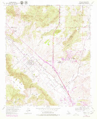
1953 Map of Murrieta
USGS Topo · Published 1979About this map
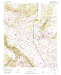
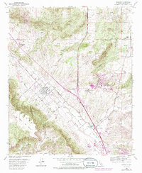
Murrieta serves as the central hub of this survey, shown just as the Temecula Valley began to transition into a more developed regional corridor. The map highlights a landscape defined by mineral-rich waters and ranching, with the famous Murrieta Hot Springs and Temecula Hot Springs anchoring the local economy. The western edge is dominated by the dramatic rise of the Santa Rosa Mesa and Cañada de Burro, while the valley floor is etched by the drainage of Murrieta Creek and Temecula Creek. Transportation is beginning to modernize, with the Laguna (Stearns) route and the burgeoning Rancho California Airport appearing alongside traditional landmarks like Oak Springs Ranch and various unnamed windmills. The presence of a Gravel Pit and several landing strips suggests a period of active growth and infrastructure building in this corner of Riverside County.
Find a feature on this map
52 named features on this map. Tap any name to fly to it.
Don’t see what you’re looking for? This feature index may not catch every label — zoom into the map to look around manually.
Map Details
Editions of this 1953 Murrieta Map
6 editions found
Other maps of this area

1901 · Southern California Sheet No. 1
USGS Topo · 1:250,000

1901 · Elsinore
USGS Topo · 1:125,000

1901 · San Luis Rey
USGS Topo · 1:125,000

1904 · Southern California Sheet No. 2
USGS Topo · 1:250,000

1904 · Southern California Sheet No. 1
USGS Topo · 1:250,000

1941 · Margarita Peak
USGS Topo · 1:62,500

1942 · Lake Elsinore
USGS Topo · 1:62,500

1942 · Margarita Peak
USGS Topo · 1:62,500

1942 · Temecula
USGS Topo · 1:62,500

1942 · Murrieta
USGS Topo · 1:62,500