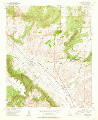
1953 Map of Murrieta
USGS Topo · Published 1962About this map
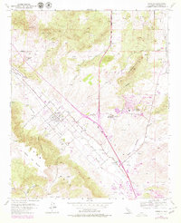
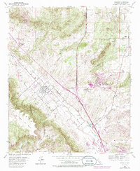
The settlement of Murrieta sits at the confluence of a grid-iron street network and the natural drainage of Murrieta Creek. In the early 1950s, this area of Riverside County remained largely agricultural, defined by its numerous water sources and geothermal features. The proximity of Murrieta Hot Springs and Temecula Hot Springs highlights the region's long-standing draw as a destination for health and relaxation. Surrounding the town, the landscape rises into distinctive terrain such as the Hogbacks and the broad plateau of Mesa de Burro.
Find a feature on this map
39 named features on this map. Tap any name to fly to it.
Don’t see what you’re looking for? This feature index may not catch every label — zoom into the map to look around manually.
Map Details
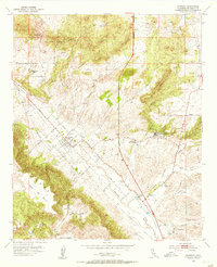
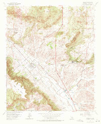
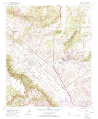
Editions of this 1953 Murrieta Map
6 editions found
Other maps of this area

1901 · Southern California Sheet No. 1
USGS Topo · 1:250,000

1901 · Elsinore
USGS Topo · 1:125,000

1901 · San Luis Rey
USGS Topo · 1:125,000

1904 · Southern California Sheet No. 2
USGS Topo · 1:250,000

1904 · Southern California Sheet No. 1
USGS Topo · 1:250,000

1941 · Margarita Peak
USGS Topo · 1:62,500

1942 · Lake Elsinore
USGS Topo · 1:62,500

1942 · Margarita Peak
USGS Topo · 1:62,500

1942 · Temecula
USGS Topo · 1:62,500

1942 · Murrieta
USGS Topo · 1:62,500