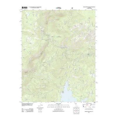
2012 Map of Musick Mountain
USGS Topo · Published 2012About this map
Mammoth Pool Powerhouse and other hydroelectric facilities define the industrial character of this High Sierra landscape along the San Joaquin River. The 2012 survey illustrates a complex network of power infrastructure, including Powerhouse Number Eight and Powerhouse Number Two, which utilize the steep elevation changes of Big Creek Canyon. These works are linked by rugged access routes like Powerhouse Rd and the Old RR Grade Rd, the latter tracing the path of former supply lines used during the massive Big Creek Hydroelectric Project.
Find a feature on this map
44 named features on this map. Tap any name to fly to it.
Don’t see what you’re looking for? This feature index may not catch every label — zoom into the map to look around manually.
Map Details
Editions of this 2012 Musick Mountain Map
This is the sole edition of this map. No revisions or reprints were ever made.
Other maps of this area

1904 · Kaiser
USGS Topo · 1:125,000

1947 · Mariposa
USGS Topo · 1:250,000

1948 · Mariposa
USGS Topo · 1:250,000

1953 · Huntington Lake
USGS Topo · 1:62,500

1953 · Shaver Lake
USGS Topo · 1:62,500

1953 · Shuteye Peak
USGS Topo · 1:62,500

1953 · Kaiser Peak
USGS Topo · 1:62,500

1957 · Mariposa
USGS Topo · 1:250,000

1963 · Mariposa
USGS Topo · 1:250,000

1980 · Shaver Lake
USGS Topo · 1:100,000