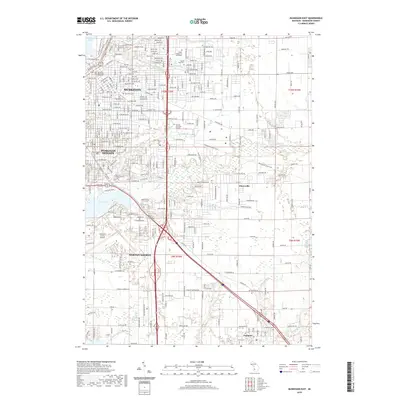
2019 Map of Muskegon East
USGS Topo · Published 2019About this map
The industrial and residential growth of eastern Muskegon and Muskegon Heights is defined by a dense grid of streets and significant public infrastructure in this late 2010s survey. Stretching from the shores of Muskegon Lake in the northwest to Mona Lake in the southwest, the landscape is punctuated by numerous dedicated memorial grounds and historical burial sites, including Oakwood Cem, Evergreen Cem, and Norton Cem. The southern reach of the quadrangle highlights the expansion of Norton Shores toward the Fruitport community, where Fruitport Cem and Yonkers Drain mark the edge of more open terrain.
Find a feature on this map
235 named features on this map. Tap any name to fly to it.
Don’t see what you’re looking for? This feature index may not catch every label — zoom into the map to look around manually.
Map Details
Editions of this 2019 Muskegon East Map
This is the sole edition of this map. No revisions or reprints were ever made.
Other maps of this area

1929 · Montague
USGS Topo · 1:48,000

1930 · Lake Harbor
USGS Topo · 1:48,000

1930 · Muskegon
USGS Topo · 1:62,500

1936 · Muskegon
USGS Topo · 1:62,500

1936 · Lake Harbor
USGS Topo · 1:62,500

1954 · Milwaukee
USGS Topo · 1:250,000

1958 · Milwaukee
USGS Topo · 1:250,000

1958 · Twin Lake
USGS Topo · 1:62,500

1959 · Montague
USGS Topo · 1:62,500
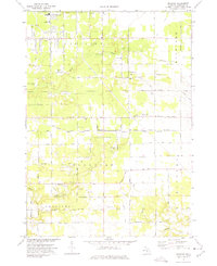
1972 · Sullivan
USGS Topo · 1:24,000