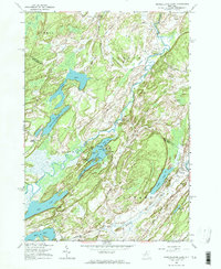
1961 Map of Muskellunge Lake
USGS Topo · Published 1964About this map
Indian River creates a meandering natural corridor through the heart of the North Country, where the borders of St. Lawrence and Jefferson Counties meet. This early 1960s perspective on the region shows a landscape defined by its numerous glacial water bodies, from the long reach of Lake of the Woods to the central Muskellunge Lake, which features curious landmarks like Elephants Foot and Big Island.
Find a feature on this map
48 named features on this map. Tap any name to fly to it.
Don’t see what you’re looking for? This feature index may not catch every label — zoom into the map to look around manually.
Map Details
Editions of this 1961 Muskellunge Lake Map
2 editions found
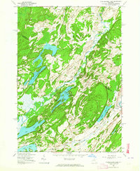
Other maps of this area

1903 · Alexandria Bay
USGS Topo · 1:62,500

1903 · Theresa
USGS Topo · 1:62,500

1911 · Antwerp
USGS Topo · 1:62,500

1912 · Hammond
USGS Topo · 1:62,500

1943 · Redwood
USGS Topo · 1:31,680

1944 · Hammond
USGS Topo · 1:62,500

1948 · Theresa
USGS Topo · 1:24,000

1948 · Chippewa Bay
USGS Topo · 1:24,000
1948 · Theresa
USGS Topo · 1:62,500

1948 · Alexandria Bay
USGS Topo · 1:62,500