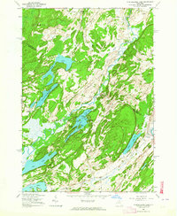
1961 Map of Muskellunge Lake
USGS Topo · Published 1964About this map
Indian River and the Oswegatchie River anchor this mid-century topographic record of the borderlands between St. Lawrence and Jefferson Counties. The landscape is defined by a dense concentration of glacial lakes, including Muskellunge Lake, Lake of the Woods, Payne Lake, and Red Lake. This watery geography dictates the local infrastructure, where narrow routes like English Settlement Road and Hanson Bridge Road navigate between the bluffs and bays. Small rural hubs and family-named junctions such as Nelson Corners, Bartletts Corner, and Chapel Corners serve as the primary markers of settlement.
Find a feature on this map
58 named features on this map. Tap any name to fly to it.
Don’t see what you’re looking for? This feature index may not catch every label — zoom into the map to look around manually.
Map Details
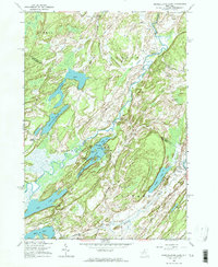
Editions of this 1961 Muskellunge Lake Map
2 editions found
Other maps of this area

1903 · Alexandria Bay
USGS Topo · 1:62,500

1903 · Theresa
USGS Topo · 1:62,500

1911 · Antwerp
USGS Topo · 1:62,500

1912 · Hammond
USGS Topo · 1:62,500

1943 · Redwood
USGS Topo · 1:31,680

1944 · Hammond
USGS Topo · 1:62,500

1948 · Theresa
USGS Topo · 1:24,000

1948 · Chippewa Bay
USGS Topo · 1:24,000
1948 · Theresa
USGS Topo · 1:62,500

1948 · Alexandria Bay
USGS Topo · 1:62,500