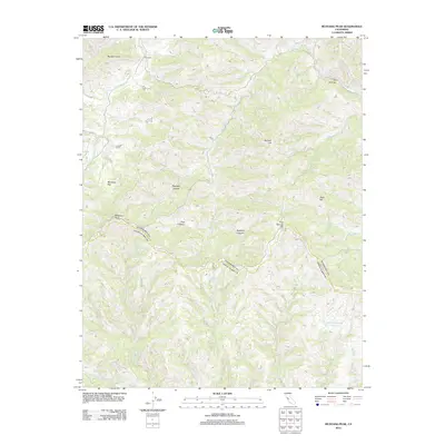
2012 Map of Mustang Peak
USGS Topo · Published 2012About this map
Gill Ranch and the surrounding Diablo Range backcountry are detailed in this 2012 topographic study. The landscape is defined by its dramatic drainage systems, with Garzas Cr and Coon Cr cutting through the terrain. Notable landforms such as Mustang Peak and Rooster Comb anchor the northern and central portions of the quadrangle, while The Narrows indicates where the geological structure of the region tightens along the watercourses. This map documents a largely undeveloped corridor where ranching and watershed management are the primary human imprints. Reservoirs like Bulhead Reservoir and Oak Springs Reservoir provide essential water storage in this arid environment, while named features such as Mustang Flat and Buckeye Canyon reflect the local nomenclature of the Santa Clara County interior.
Find a feature on this map
19 named features on this map. Tap any name to fly to it.
Don’t see what you’re looking for? This feature index may not catch every label — zoom into the map to look around manually.
Map Details
Editions of this 2012 Mustang Peak Map
This is the sole edition of this map. No revisions or reprints were ever made.
Other maps of this area

1919 · Orestimba
USGS Topo · 1:62,500

1919 · Orestimba Creek
USGS Topo · 1:31,680

1920 · Pacheco Pass
USGS Topo · 1:62,500

1921 · Gilroy Hot Springs
USGS Topo · 1:62,500

1938 · Mt. Boardman
USGS Topo · 1:62,500

1939 · Gilroy Hot Springs
USGS Topo · 1:62,500

1940 · Gilroy Hot Springs
USGS Topo · 1:62,500

1940 · Pacheco Pass
USGS Topo · 1:62,500

1941 · Orestimba
USGS Topo · 1:62,500

1942 · Mt. Boardman
USGS Topo · 1:62,500