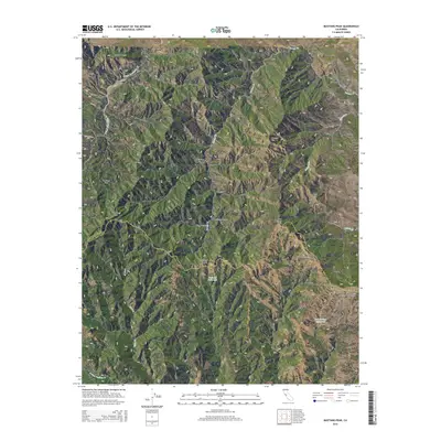
2015 Map of Mustang Peak
USGS Topo · Published 2015About this map
Mustang Peak stands as a prominent landmark along the high boundary between Stanislaus and Santa Clara Counties in this 2015 U.S. Geological Survey topographic record. The landscape is defined by a dense network of canyons and ridges, including Mustang Canyon, Hog Canyon, and Buckeye Canyon, which feed into major watercourses like the S Fork Orestimba Cr. The interior terrain features several high-elevation flats and peaks, such as Mustang Flat and Hamner Hill, reflecting the complex geography of the Diablo Range.
Find a feature on this map
29 named features on this map. Tap any name to fly to it.
Don’t see what you’re looking for? This feature index may not catch every label — zoom into the map to look around manually.
Map Details
Editions of this 2015 Mustang Peak Map
This is the sole edition of this map. No revisions or reprints were ever made.
Other maps of this area

1919 · Orestimba
USGS Topo · 1:62,500

1919 · Orestimba Creek
USGS Topo · 1:31,680

1920 · Pacheco Pass
USGS Topo · 1:62,500

1921 · Gilroy Hot Springs
USGS Topo · 1:62,500

1938 · Mt. Boardman
USGS Topo · 1:62,500

1939 · Gilroy Hot Springs
USGS Topo · 1:62,500

1940 · Gilroy Hot Springs
USGS Topo · 1:62,500

1940 · Pacheco Pass
USGS Topo · 1:62,500

1941 · Orestimba
USGS Topo · 1:62,500

1942 · Mt. Boardman
USGS Topo · 1:62,500