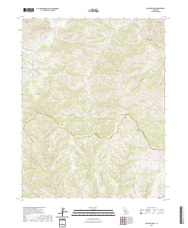
2021 Map of Mustang Peak
USGS Topo · Published 2021About this map
Mustang Peak stands as a prominent landmark on the boundary between Stanislaus and Santa Clara counties, overlooking a network of deep-cut drainage systems. The landscape is defined by the sharp relief of the Rooster Comb and the narrow passage of The Narrows along Garzas Cr. Water management is evident through the presence of the Bulhead Reservoir and Oak Springs Reservoir, which serve this arid upland region. The map reveals an intricate system of backcountry trails, including the Mustang Pond Trl Trl and Deer Camp Trl Trl, suggesting the area's use for recreation and land management. Notable terrain features like Mustang Flat and Mustang Ridge highlight the distinctive topographical character of the Diablo Range foothills.
Find a feature on this map
41 named features on this map. Tap any name to fly to it.
Don’t see what you’re looking for? This feature index may not catch every label — zoom into the map to look around manually.
Map Details
Editions of this 2021 Mustang Peak Map
This is the sole edition of this map. No revisions or reprints were ever made.
Other maps of this area

1919 · Orestimba
USGS Topo · 1:62,500

1919 · Orestimba Creek
USGS Topo · 1:31,680

1920 · Pacheco Pass
USGS Topo · 1:62,500

1921 · Gilroy Hot Springs
USGS Topo · 1:62,500

1938 · Mt. Boardman
USGS Topo · 1:62,500

1939 · Gilroy Hot Springs
USGS Topo · 1:62,500

1940 · Gilroy Hot Springs
USGS Topo · 1:62,500

1940 · Pacheco Pass
USGS Topo · 1:62,500

1941 · Orestimba
USGS Topo · 1:62,500

1942 · Mt. Boardman
USGS Topo · 1:62,500