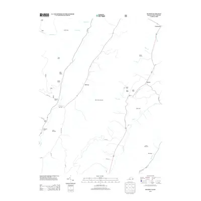
2013 Map of Mustoe
USGS Topo · Published 2013About this map
Mustoe and Vanderpool anchor the eastern drainage of this Highland County landscape, where the Jackson River follows the base of Back Creek Mountain. The terrain is defined by a series of narrow valleys and ridges, with named gaps such as Mill Gap and Galford Gap providing critical passage through the high ground. The naming conventions across the sheet, including numerous "drafts" like Sues Draft, Ruckman Draft, and Erwin Draft, reflect the distinct regional vernacular for small valleys or stream beds in this part of the Alleghenies.
Find a feature on this map
36 named features on this map. Tap any name to fly to it.
Don’t see what you’re looking for? This feature index may not catch every label — zoom into the map to look around manually.
Map Details
Editions of this 2013 Mustoe Map
This is the sole edition of this map. No revisions or reprints were ever made.
Other maps of this area

1901 · Monterey
USGS Topo · 1:125,000

1922 · Cass
USGS Topo · 1:48,000

1923 · Warm Springs
USGS Topo · 1:48,000

1924 · Cass
USGS Topo · 1:62,500

1926 · Warm Springs
USGS Topo · 1:62,500

1941 · Monterey
USGS Topo · 1:62,500

1944 · Monterey
USGS Topo · 1:62,500

1946 · Warm Springs
USGS Topo · 1:62,500

1946 · Williamsville
USGS Topo · 1:62,500

1949 · Charlottesville
USGS Topo · 1:250,000