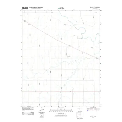
2012 Map of Mutual NE
USGS Topo · Published 2012About this map
Richmond and Cestos are the primary focal points of this Woodward County landscape, situated amidst the complex drainage patterns of the southern plains. The meandering course of the N Canadian River defines the northern reaches of the quadrangle, where its shifting bed and associated tributaries like Bent Cr and Camp Cr have historically influenced the section-line road layout. Local family and community history is preserved at the Richmond Cem and Dunlap Cem, which serve as quiet landmarks for genealogists tracing early settlers of this cattle and wheat-producing region. The rigid grid of roads, including n2180 RD and e0570 RD, highlights the enduring influence of the Public Land Survey System on the modern Oklahoma rural environment.
Find a feature on this map
26 named features on this map. Tap any name to fly to it.
Don’t see what you’re looking for? This feature index may not catch every label — zoom into the map to look around manually.
Map Details
Editions of this 2012 Mutual NE Map
This is the sole edition of this map. No revisions or reprints were ever made.
Other maps of this area

1955 · Woodward
USGS Topo · 1:250,000

1958 · Woodward
USGS Topo · 1:250,000

1969 · Mooreland SE
USGS Topo · 1:24,000

1969 · Cedardale
USGS Topo · 1:24,000

1969 · Mooreland SW
USGS Topo · 1:24,000

1969 · Mutual SW
USGS Topo · 1:24,000

1969 · Mutual
USGS Topo · 1:24,000

1969 · Lenora
USGS Topo · 1:24,000

1969 · Mutual NE
USGS Topo · 1:24,000

1972 · Seiling
USGS Topo · 1:24,000