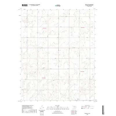
2018 Map of Mutual SW
USGS Topo · Published 2018About this map
The rolling plains of Dewey County are defined here by a network of drainage basins that feed into the larger river systems of western Oklahoma. Water sources are critical in this landscape, evidenced by the presence of the 043002 Reservoir and the Barnes Number 3 Reservoir tucked into the draws. These man-made features supplement the natural flow of Kizer Cr, Camp Cr, and Teepee Cr, which carve through the terrain. The area's human history is marked by quiet landmarks like the Bloomfield Cem and Union View Cem, which remain as touchstones of early settlement and community identity. A systematic grid of county roads, including n2150 RD and e0660 RD, provides the primary structure for the agricultural and ranching parcels that span the borders of Townships 18 and 19 North.
Find a feature on this map
30 named features on this map. Tap any name to fly to it.
Don’t see what you’re looking for? This feature index may not catch every label — zoom into the map to look around manually.
Map Details
Editions of this 2018 Mutual SW Map
This is the sole edition of this map. No revisions or reprints were ever made.
Other maps of this area

1955 · Clinton
USGS Topo · 1:250,000

1955 · Woodward
USGS Topo · 1:250,000

1957 · Clinton
USGS Topo · 1:250,000

1958 · Woodward
USGS Topo · 1:250,000

1961 · Leedey
USGS Topo · 1:62,500

1962 · Aledo
USGS Topo · 1:62,500

1969 · Mutual SW
USGS Topo · 1:24,000

1969 · Mutual
USGS Topo · 1:24,000

1969 · Lenora
USGS Topo · 1:24,000

1969 · Camargo
USGS Topo · 1:24,000