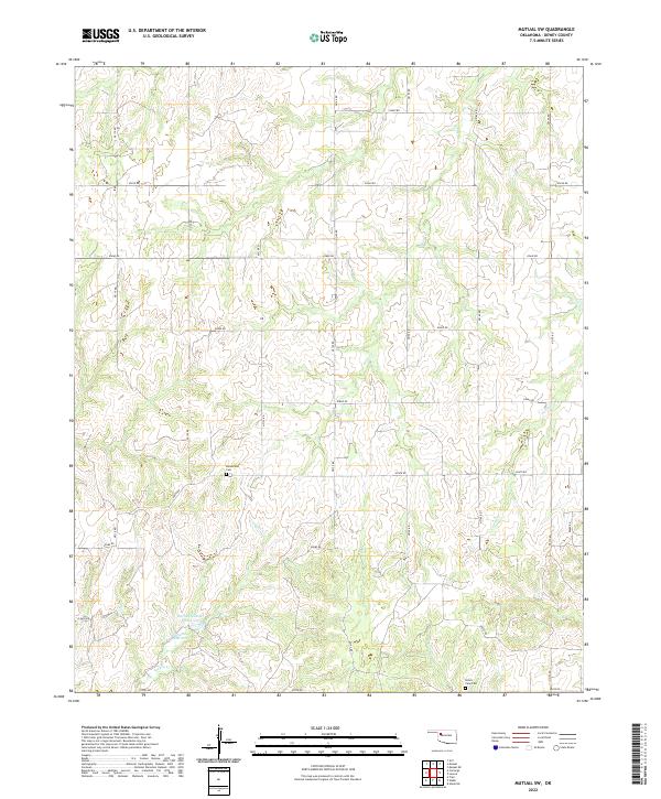
2022 Map of Mutual SW
USGS Topo · Published 2022About this map
Bloomfield Cem and Union View Cem stand as quiet markers of rural heritage in this pocket of Dewey County, Oklahoma. The landscape is defined by the headwaters and drainage networks of several seasonal streams, including Kizer Cr, Teepee Cr, and Lone Cr. These waterways cut through the terrain between a grid of section-line roads such as n2140 RD and e0660 RD, reflecting the enduring Public Land Survey System structure that has governed Oklahoma's agricultural layout since the land runs. Man-made water management is evident in the presence of the Barnes Number 3 Reservoir and 043002 Reservoir, which support local livestock and land use in this semi-arid region. The map provides a look at a sparsely populated ranching and farming landscape, where the primary infrastructure consists of a disciplined network of local roads serving isolated homesteads and family cemeteries.
Find a feature on this map
29 named features on this map. Tap any name to fly to it.
Don’t see what you’re looking for? This feature index may not catch every label — zoom into the map to look around manually.
Map Details
Editions of this 2022 Mutual SW Map
This is the sole edition of this map. No revisions or reprints were ever made.
Other maps of this area

1955 · Clinton
USGS Topo · 1:250,000

1955 · Woodward
USGS Topo · 1:250,000

1957 · Clinton
USGS Topo · 1:250,000

1958 · Woodward
USGS Topo · 1:250,000

1961 · Leedey
USGS Topo · 1:62,500

1962 · Aledo
USGS Topo · 1:62,500

1969 · Mutual SW
USGS Topo · 1:24,000

1969 · Mutual
USGS Topo · 1:24,000

1969 · Lenora
USGS Topo · 1:24,000

1969 · Camargo
USGS Topo · 1:24,000