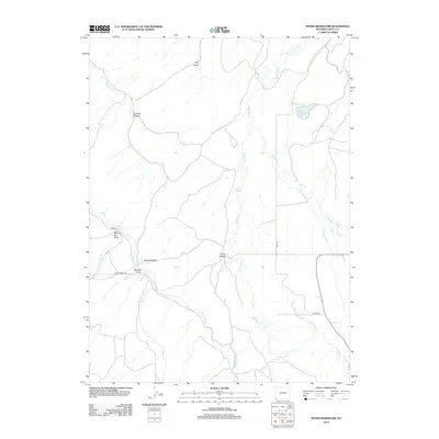
2012 Map of Myers Reservoir
USGS Topo · Published 2012About this map
Bear River dominates the central drainage of this Uinta County landscape, meandering through a series of named draws and flats that define the region's topography. The map illustrates a rural environment where water management is central to the land's utility, anchored by Myers Reservoir in the northeast. Transportation follows the natural contours of the terrain, with routes like Chalk Creek Rd and various county roads providing access to remote sections such as Bessie Bottom and Randall Draw. Numerous tributaries, including Little Yellow Cr and Cottonwood Cr, feed into the primary river system, reflecting the complex hydrological network required for ranching or local agriculture. The naming of features like Harding Hollow and Young Hollow suggests a history of localized land use and family-named landmarks common in the Wyoming backcountry.
Find a feature on this map
19 named features on this map. Tap any name to fly to it.
Don’t see what you’re looking for? This feature index may not catch every label — zoom into the map to look around manually.
Map Details
Editions of this 2012 Myers Reservoir Map
This is the sole edition of this map. No revisions or reprints were ever made.
Other maps of this area

1885 · Salt Lake
USGS Topo · 1:250,000

1885 · Uinta
USGS Topo · 1:250,000

1900 · Coalville
USGS Topo · 1:125,000

1901 · Hayden Peak
USGS Topo · 1:125,000

1903 · Hayden Peak
USGS Topo · 1:125,000

1903 · Coalville
USGS Topo · 1:125,000

1954 · Salt Lake City
USGS Topo · 1:250,000

1954 · Ogden
USGS Topo · 1:250,000

1958 · Ogden
USGS Topo · 1:250,000

1958 · Salt Lake City
USGS Topo · 1:250,000