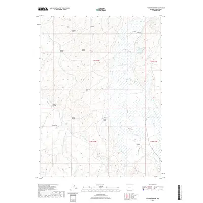
2017 Map of Myers Reservoir
USGS Topo · Published 2017About this map
The Bear River meanders through this high Uinta County landscape, shaping a wide valley defined by drainage draws and secluded bottoms. Bessie Bottom and Young Hollow sit within the river's path, while the higher elevations are marked by series of steep gullies like Harding Hollow and Clifton Hollow. This 2017 survey reveals a landscape largely shaped by ranching and water management, anchored by the Myers Reservoir and the Crown Ditch irrigation system. Private infrastructure is evident through named thoroughfares such as Meyers Private Ranch Rd and Kingfisher Bend Ranch Rd. The network of water features, including Sage Creek Draw, Yellow Cr, and Mill Cr, highlights the vital role of riparian corridors in this arid Wyoming terrain.
Find a feature on this map
34 named features on this map. Tap any name to fly to it.
Don’t see what you’re looking for? This feature index may not catch every label — zoom into the map to look around manually.
Map Details
Editions of this 2017 Myers Reservoir Map
This is the sole edition of this map. No revisions or reprints were ever made.
Other maps of this area

1885 · Salt Lake
USGS Topo · 1:250,000

1885 · Uinta
USGS Topo · 1:250,000

1900 · Coalville
USGS Topo · 1:125,000

1901 · Hayden Peak
USGS Topo · 1:125,000

1903 · Hayden Peak
USGS Topo · 1:125,000

1903 · Coalville
USGS Topo · 1:125,000

1954 · Salt Lake City
USGS Topo · 1:250,000

1954 · Ogden
USGS Topo · 1:250,000

1958 · Ogden
USGS Topo · 1:250,000

1958 · Salt Lake City
USGS Topo · 1:250,000