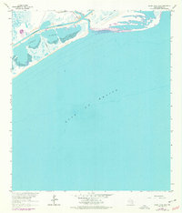
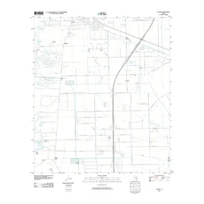
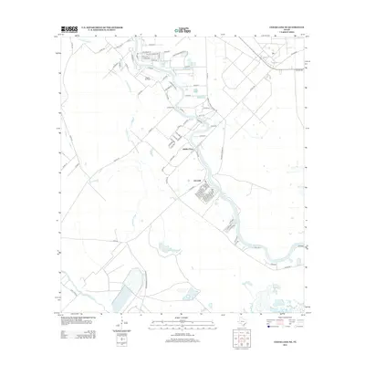
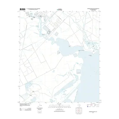
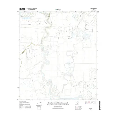
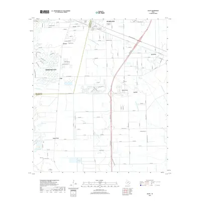
1920 Map of Mykawa
USGS Topo · Published 1949About this map
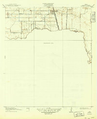
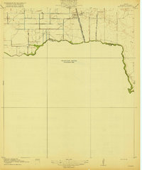
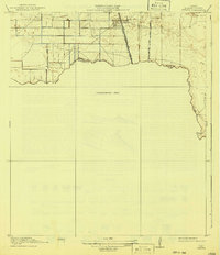
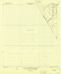
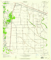
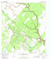
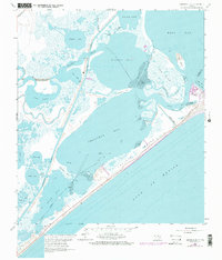
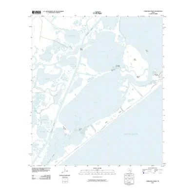
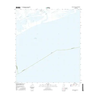
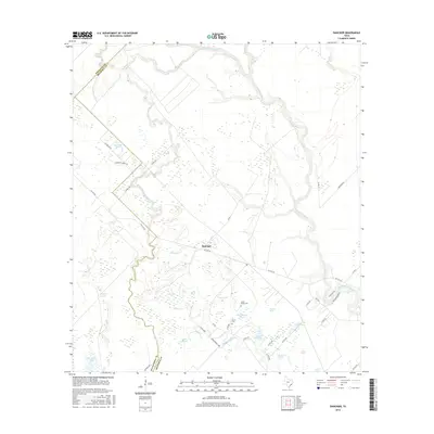
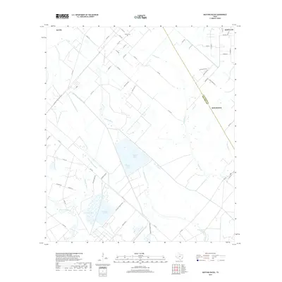
Mykawa serves as a central rail point on this early 20th-century coastal prairie landscape, where the Gulf Colorado and Santa Fe railroad bisects a developing grid of agricultural roads. The map reveals a transition from surveyed farm tracts to the Unsurveyed Area further south, with the winding course of Clear Creek defining the natural boundary between Harris and Brazoria counties. This 1915 survey shows a sparsely settled region anchored by the Minnetex School, reflecting the rural education structure of the era. The infrastructure is dominated by regional transit corridors like the Houston and Alvin Road and the Houston and Chocolate Road, which point toward the commercial ties between the growing city to the north and the Gulf Coast hinterlands.
Find a feature on this map
10 named features on this map. Tap any name to fly to it.
Don’t see what you’re looking for? This feature index may not catch every label — zoom into the map to look around manually.
Map Details
Editions of this 1920 Mykawa Map
3 editions found
Historical Maps of Houston Through Time
65 maps found
1920 Mykawa
Brazoria County, TX
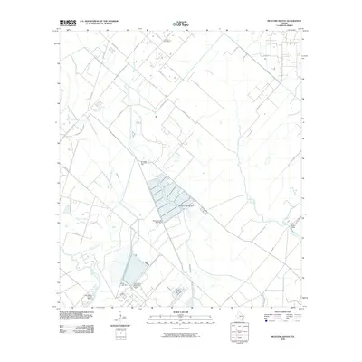
1932 Mustang Bayou
Brazoria County, TX

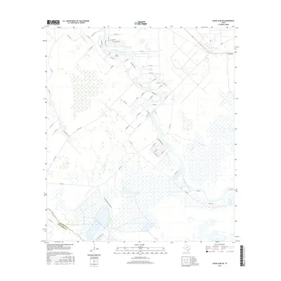
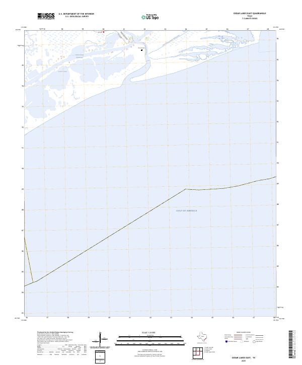
1943 Cedar Lakes East
Brazoria County, TX

1943 Chocolate Bay
Brazoria County, TX

1943 Chocolate Bayou
Brazoria County, TX

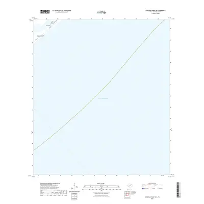
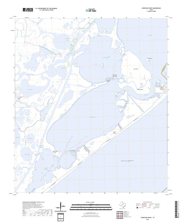
1943 Christmas Point
Brazoria County, TX
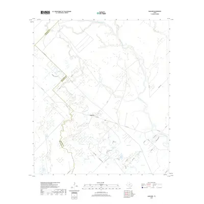
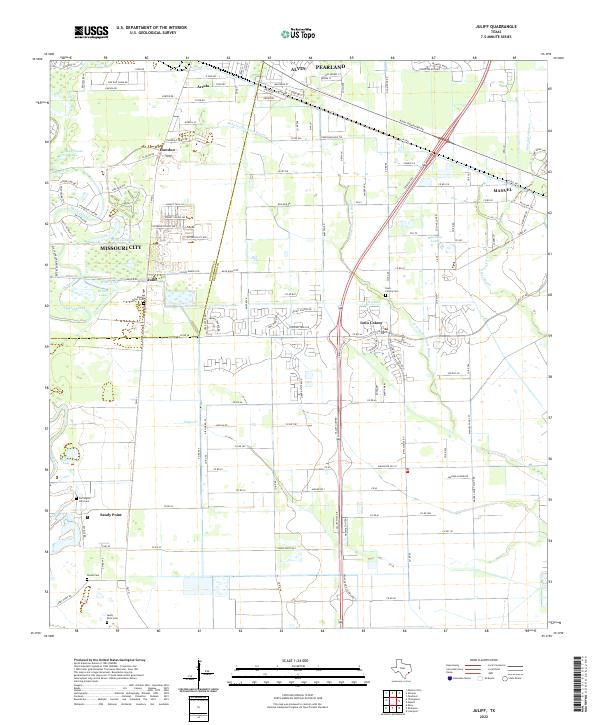
1943 Juliff
Brazoria County, TX
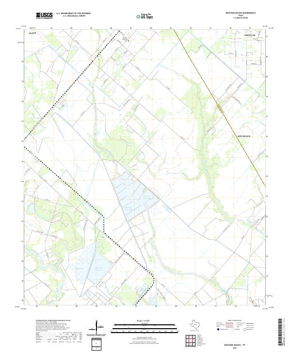
1943 Mustang Bayou
Brazoria County, TX
1943 Snipe
Brazoria County, TX
1952 Cedar Lane NE
Brazoria County, TX
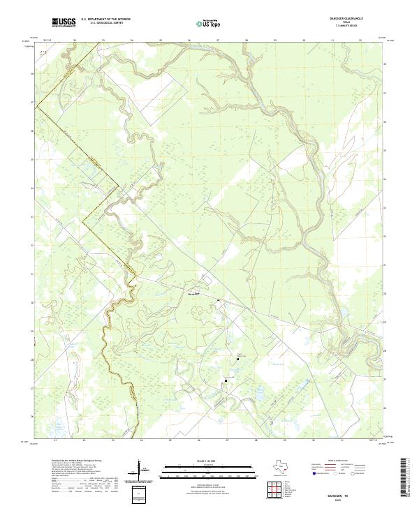
1952 Danciger
Brazoria County, TX

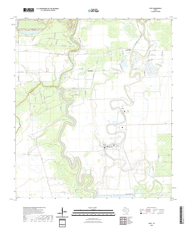
1953 Otey
Brazoria County, TX
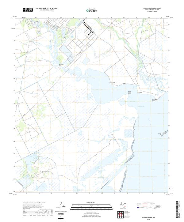
1963 Hoskins Mound
Brazoria County, TX
1963 Juliff
Brazoria County, TX
1963 Mustang Bayou
Brazoria County, TX
1964 Cedar Lakes East
Brazoria County, TX
1965 Christmas Point
Brazoria County, TX
2010 Cedar Lakes East
Brazoria County, TX
2010 Cedar Lane NE
Brazoria County, TX
2010 Christmas Point
Brazoria County, TX
2010 Christmas Point OE S
Brazoria County, TX
2010 Danciger
Brazoria County, TX
2010 Hoskins Mound
Brazoria County, TX
2010 Juliff
Brazoria County, TX
2010 Mustang Bayou
Brazoria County, TX
2010 Otey
Brazoria County, TX
2013 Cedar Lakes East
Brazoria County, TX
2013 Cedar Lane NE
Brazoria County, TX
2013 Christmas Point
Brazoria County, TX
2013 Christmas Point OE S
Brazoria County, TX
2013 Danciger
Brazoria County, TX
2013 Hoskins Mound
Brazoria County, TX
2013 Juliff
Brazoria County, TX
2013 Mustang Bayou
Brazoria County, TX
2013 Otey
Brazoria County, TX
2016 Cedar Lakes East
Brazoria County, TX
2016 Cedar Lane NE
Brazoria County, TX
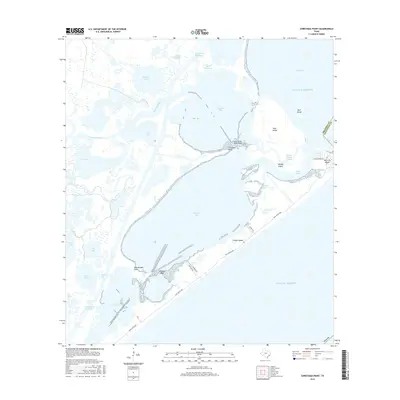
2016 Christmas Point
Brazoria County, TX
2016 Christmas Point OE S
Brazoria County, TX
2016 Danciger
Brazoria County, TX
2016 Hoskins Mound
Brazoria County, TX
2016 Juliff
Brazoria County, TX
2016 Mustang Bayou
Brazoria County, TX
2016 Otey
Brazoria County, TX
2019 Cedar Lakes East
Brazoria County, TX
2019 Cedar Lane NE
Brazoria County, TX
2019 Christmas Point
Brazoria County, TX
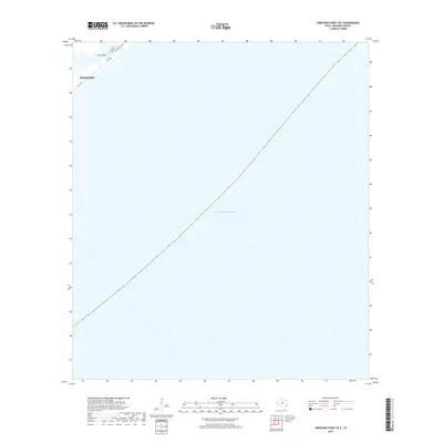
2019 Christmas Point OE S
Brazoria County, TX
2019 Danciger
Brazoria County, TX
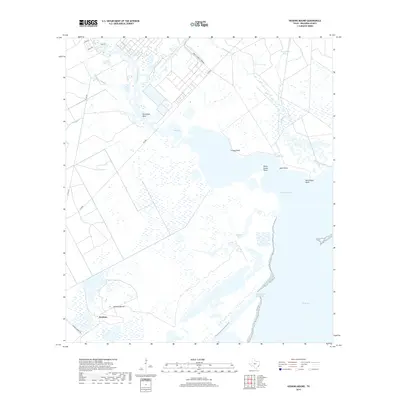
2019 Hoskins Mound
Brazoria County, TX
2019 Juliff
Brazoria County, TX
2019 Mustang Bayou
Brazoria County, TX
2019 Otey
Brazoria County, TX

2022 Cedar Lakes East
Brazoria County, TX
2022 Cedar Lane NE
Brazoria County, TX
2022 Christmas Point
Brazoria County, TX
2022 Christmas Point OE S
Brazoria County, TX
2022 Danciger
Brazoria County, TX
2022 Hoskins Mound
Brazoria County, TX
2022 Juliff
Brazoria County, TX
2022 Mustang Bayou
Brazoria County, TX
2022 Otey
Brazoria County, TX
2025 Cedar Lakes East
Brazoria County, TX
2025 Christmas Point
Brazoria County, TX
2025 Christmas Point OE S
Brazoria County, TX