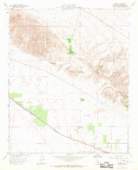
1958 Map of Myoma
USGS Topo · Published 1967About this map
The Coachella Valley landscape in the late 1950s is defined by a series of verdant oases emerging from the base of the Indio Hills. These natural sanctuaries, including Thousand Palms Oasis, Pushawalla Palms, and Macomber Palms, follow geological fault lines where subsurface water reaches the surface. This water source supported isolated desert operations like the Fleming Ranch and Chuckwalla Ranch well before the extensive residential expansion of later decades.
Find a feature on this map
33 named features on this map. Tap any name to fly to it.
Don’t see what you’re looking for? This feature index may not catch every label — zoom into the map to look around manually.
Map Details
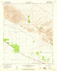
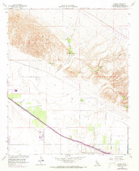
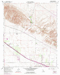
Editions of this 1958 Myoma Map
4 editions found
Other maps of this area

1904 · Indio
USGS Topo · 1:125,000

1941 · Toro Peak
USGS Topo · 1:62,500

1941 · Coachella
USGS Topo · 1:62,500

1941 · Edom
USGS Topo · 1:62,500

1943 · Coachella
USGS Topo · 1:62,500

1944 · Toro peak
USGS Topo · 1:62,500

1944 · Edom
USGS Topo · 1:62,500

1944 · Pinyon Well
USGS Topo · 1:62,500

1947 · Santa Ana
USGS Topo · 1:250,000

1949 · Santa Ana
USGS Topo · 1:250,000