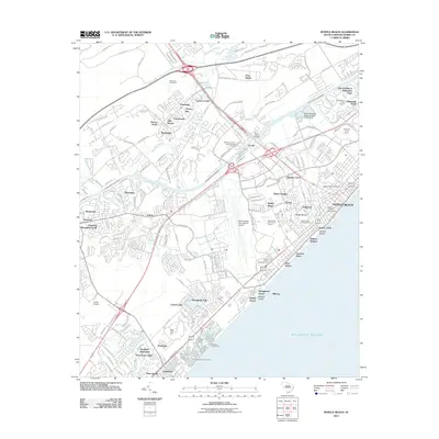
2011 Map of Myrtle Beach
USGS Topo · Published 2011About this map
Myrtle Beach and its surrounding Grand Strand communities are presented here during a period of significant coastal development and infrastructure growth. The landscape is defined by the Intracoastal Waterway, which cuts through the region, separating the interior Socastee Swamp and Negro Field Swamp from the burgeoning oceanfront. Large-scale tourism and recreation footprints are evident through the Myrtle Beach International Airport, the expansive Broadway at the Beach complex, and numerous golf courses like Whispering Pines Golf Course. Residential patterns show a dense network of neighborhoods such as Ramsey Acres, Withers Heights, and Deerfield Plantation, alongside traditional coastal access points like Withers Swash and Springmaid Beach. The southern portion of the sheet highlights the concentration of outdoor hospitality, including the Pirateland Campground and Lakewood Campground along the Atlantic Ocean shore.
Find a feature on this map
167 named features on this map. Tap any name to fly to it.
Don’t see what you’re looking for? This feature index may not catch every label — zoom into the map to look around manually.
Map Details
Editions of this 2011 Myrtle Beach Map
This is the sole edition of this map. No revisions or reprints were ever made.
Other maps of this area

1937 · Myrtle Beach
USGS Topo · 1:48,000

1937 · Nixonville
USGS Topo · 1:48,000

1940 · Myrtle Beach
USGS Topo · 1:62,500

1942 · Nixonville
USGS Topo · 1:62,500

1943 · Bucksville
USGS Topo · 1:24,000

1943 · Brookgreen
USGS Topo · 1:24,000

1943 · Conway
USGS Topo · 1:24,000

1949 · Georgetown
USGS Topo · 1:250,000

1967 · Georgetown
USGS Topo · 1:250,000

1974 · Georgetown
USGS Topo · 1:250,000