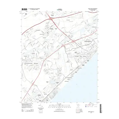
2014 Map of Myrtle Beach
USGS Topo · Published 2014About this map
Myrtle Beach and the surrounding Horry County coast are shown during a period of extensive suburban development and established tourism. The landscape is defined by the man-made channel of the Intracoastal Waterway, which separates the shoreline communities from the inland residential clusters of Forestbrook and Socastee. Along the Atlantic coast, the map traces a sequence of beach developments from Springmaid Beach and Pebble Beach up to the older commercial heart of the city near Withers Swash.
Find a feature on this map
249 named features on this map. Tap any name to fly to it.
Don’t see what you’re looking for? This feature index may not catch every label — zoom into the map to look around manually.
Map Details
Editions of this 2014 Myrtle Beach Map
This is the sole edition of this map. No revisions or reprints were ever made.
Other maps of this area

1937 · Myrtle Beach
USGS Topo · 1:48,000

1937 · Nixonville
USGS Topo · 1:48,000

1940 · Myrtle Beach
USGS Topo · 1:62,500

1942 · Nixonville
USGS Topo · 1:62,500

1943 · Bucksville
USGS Topo · 1:24,000

1943 · Brookgreen
USGS Topo · 1:24,000

1943 · Conway
USGS Topo · 1:24,000

1949 · Georgetown
USGS Topo · 1:250,000

1967 · Georgetown
USGS Topo · 1:250,000

1974 · Georgetown
USGS Topo · 1:250,000