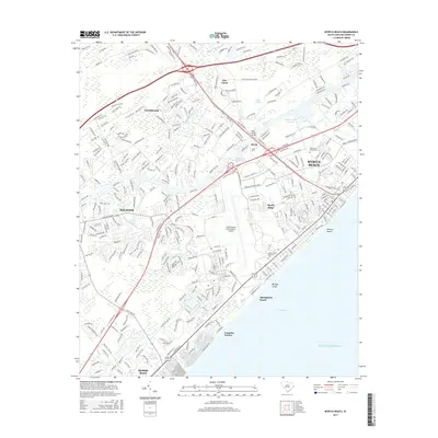
2017 Map of Myrtle Beach
USGS Topo · Published 2017About this map
Intracoastal Waterway navigation and coastal development dominate this 2017 look at the Grand Strand. Centered on Myrtle Beach, the landscape shows a transition from the heavily developed Atlantic coastline to the inland reaches of Socastee and Forestbrook. The map highlights the extensive footprint of the Myrtle Beach International Airport and the complex drainage of the surrounding wetlands, including Socastee Swamp and Gross Swamp. Along the shoreline, distinctive natural inlets like Withers Swash and Midway Swash punctuate the developed beaches, while the inland Myrtle Beach Lagoon sits near the small settlement of Konig. This era of mapping documents the dense residential growth and road networks, such as the Augusta Plantation Drive area, that have largely replaced the historic pine forests of the coastal plain.
Find a feature on this map
330 named features on this map. Tap any name to fly to it.
Don’t see what you’re looking for? This feature index may not catch every label — zoom into the map to look around manually.
Map Details
Editions of this 2017 Myrtle Beach Map
This is the sole edition of this map. No revisions or reprints were ever made.
Other maps of this area

1937 · Myrtle Beach
USGS Topo · 1:48,000

1937 · Nixonville
USGS Topo · 1:48,000

1940 · Myrtle Beach
USGS Topo · 1:62,500

1942 · Nixonville
USGS Topo · 1:62,500

1943 · Bucksville
USGS Topo · 1:24,000

1943 · Brookgreen
USGS Topo · 1:24,000

1943 · Conway
USGS Topo · 1:24,000

1949 · Georgetown
USGS Topo · 1:250,000

1967 · Georgetown
USGS Topo · 1:250,000

1974 · Georgetown
USGS Topo · 1:250,000