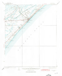
1937 Map of Myrtle Beach
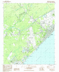
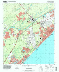
USGS Topo · Published 1975About this map
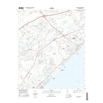
Myrtle Beach and the Grand Strand coastline are captured here in the late 1930s, showing a landscape defined by the relatively new Intracoastal Waterway and the Atlantic Coast Line railroad. The map documents the early development of resort communities like Surfside Beach, Garden City Beach, and Ocean Forest, long before the modern era of high-rise density. Inland, the rural character of Horry County remains intact with scattered settlements such as Socastee and Konig, and essential community landmarks like St Stephen Ch and Big Swamp Sch. The map provides a distinct look at the transition between coastal swashes, such as Withers Swash and Midway Swash, and the heavy timbered swamps of Ocean Bay and Big Swamp. Of particular note is the layout of the Myrtle Beach State Park and the Airport as they appeared prior to the massive postwar expansion of the region.
Find a feature on this map
37 named features on this map. Tap any name to fly to it.
Don’t see what you’re looking for? This feature index may not catch every label — zoom into the map to look around manually.
Map Details
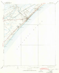
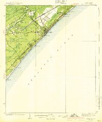
Editions of this 1937 Myrtle Beach Map
3 editions found
Historical Maps of Myrtle Beach Through Time
11 maps found
1937 Myrtle Beach
Horry County, SC
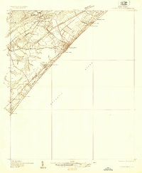
1940 Myrtle Beach
Horry County, SC
1984 Myrtle Beach
Horry County, SC

1986 Myrtle Beach
Horry County, SC

1990 Myrtle Beach
Horry County, SC
1994 Myrtle Beach
Horry County, SC
2011 Myrtle Beach
Horry County, SC
2014 Myrtle Beach
Horry County, SC
2017 Myrtle Beach
Horry County, SC
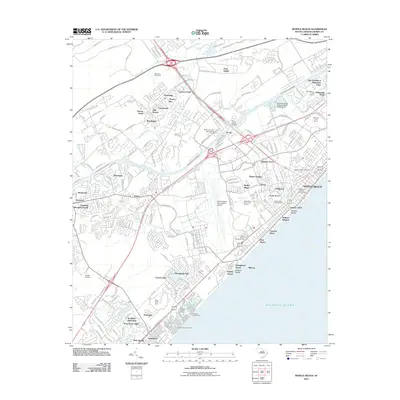
2020 Myrtle Beach
Horry County, SC
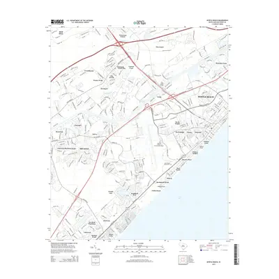
2024 Myrtle Beach
Horry County, SC