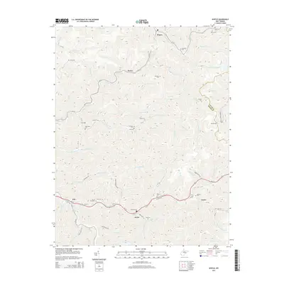
2014 Map of Myrtle
USGS Topo · Published 2014About this map
Mounts Cemeteries and Zornes Cem sit along the winding valley of Trace Fork, illustrating the deep-rooted family heritage in this section of the West Virginia coalfields. The landscape is defined by a dense network of hollows and ridges, where small settlements like Myrtle, Belo, and Scarlet follow the natural paths carved by waterways such as Riffe Br and Dingess Fork.
Find a feature on this map
85 named features on this map. Tap any name to fly to it.
Don’t see what you’re looking for? This feature index may not catch every label — zoom into the map to look around manually.
Map Details
Editions of this 2014 Myrtle Map
This is the sole edition of this map. No revisions or reprints were ever made.
Other maps of this area

1887 · Warfield
USGS Topo · 1:125,000

1891 · Warfield
USGS Topo · 1:125,000

1909 · Matewan
USGS Topo · 1:48,000

1910 · Holden
USGS Topo · 1:48,000

1910 · Naugatuck
USGS Topo · 1:48,000

1912 · Naugatuck
USGS Topo · 1:62,500

1912 · Holden
USGS Topo · 1:62,500

1915 · Williamson
USGS Topo · 1:48,000

1915 · Naugatuck
USGS Topo · 1:48,000

1915 · Matewan
USGS Topo · 1:48,000