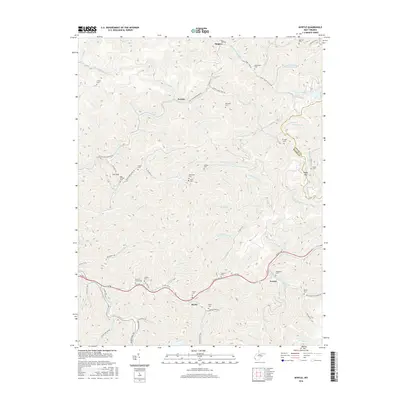
2016 Map of Myrtle
USGS Topo · Published 2016About this map
Laurel Lake sits surrounded by the steep, wooded hollows along the border of Logan Co and Mingo County. This modern survey reveals a landscape deeply defined by its drainage patterns and narrow valleys, where settlements like Myrtle and Parsley follow the winding paths of Laurel Fork and W Fork Twelvepole Creek. The transportation infrastructure here is a blend of old and new, featuring the modern corridor of US Route 119 passing through Scarlet while the Old N W Railroad Bed Road preserves the footprint of earlier industrial routes. Local family history is well-documented through numerous small burial grounds, including Mounts Cemeteries, Ooten Cemetery, and Dempsey Cemetery. The naming of Copperas Mine Fork and various branches like Millstone Branch suggests a history of resource extraction and local industry in the valleys near Dingess.
Find a feature on this map
86 named features on this map. Tap any name to fly to it.
Don’t see what you’re looking for? This feature index may not catch every label — zoom into the map to look around manually.
Map Details
Editions of this 2016 Myrtle Map
This is the sole edition of this map. No revisions or reprints were ever made.
Other maps of this area

1887 · Warfield
USGS Topo · 1:125,000

1891 · Warfield
USGS Topo · 1:125,000

1909 · Matewan
USGS Topo · 1:48,000

1910 · Holden
USGS Topo · 1:48,000

1910 · Naugatuck
USGS Topo · 1:48,000

1912 · Naugatuck
USGS Topo · 1:62,500

1912 · Holden
USGS Topo · 1:62,500

1915 · Williamson
USGS Topo · 1:48,000

1915 · Naugatuck
USGS Topo · 1:48,000

1915 · Matewan
USGS Topo · 1:48,000