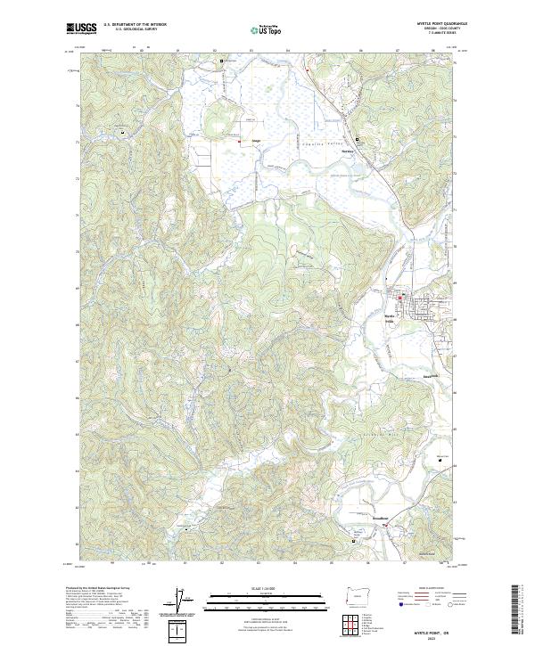
2023 Map of Myrtle Point
USGS Topo · Published 2023About this map
The Coquille River valley serves as the central corridor for this Coos County landscape, where the convergence of the North Fork Coquille River and South Fork Coquille River defines the local geography. The city of Myrtle Point stands at this significant river junction, historically connected to the timber industry by features like the Myrtle Point Log Pond. To the south, the settlement of Broadbent is situated near the mouth of Dement Creek, while the northern valley is home to the communities of Arago and Norway. Genealogists will find several burial sites throughout the rural terrain, including Norway Cem and the Hermann Family Cem. The map illustrates a complex network of local roads such as Lee Valley Rd and Fishtrap Rd, which navigate the hills surrounding Pleasant Valley and Cribbins Hill.
Find a feature on this map
99 named features on this map. Tap any name to fly to it.
Don’t see what you’re looking for? This feature index may not catch every label — zoom into the map to look around manually.
Map Details
Editions of this 2023 Myrtle Point Map
This is the sole edition of this map. No revisions or reprints were ever made.
Other maps of this area

1896 · Coos Bay
USGS Topo · 1:125,000

1898 · Coos Bay
USGS Topo · 1:125,000

1899 · Port Orford
USGS Topo · 1:125,000

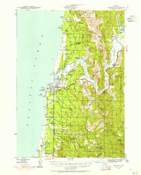
1900 · Coos Bay
USGS Topo · 1:125,000

1903 · Port Orford
USGS Topo · 1:125,000

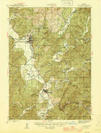
1942 · Coquille
USGS Topo · 1:62,500
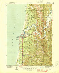
1943 · Bandon
USGS Topo · 1:62,500
1944 · Bandon
USGS Topo · 1:62,500
1945 · Coquille
USGS Topo · 1:62,500

1954 · Coos Bay
USGS Topo · 1:250,000