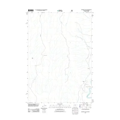
2011 Map of Mystery Cave
USGS Topo · Published 2011About this map
Wild Horse Mine sits at the heart of this high-elevation landscape, where the drainage systems of North Fork Trail Creek and South Fork Trail Creek feed toward the expansive waters of Bighorn Lake. This 2011 survey by the U.S. Geological Survey details a region defined by dramatic topographic relief, including the prominent Tillet Ridge and the distinct elevations of Bar Hill and Yellow Hill. Transportation through this area is facilitated by rugged routes such as Mystery Cave Rd and Bad Pass Rd. Near the southeastern corner of the quadrangle, the Devils Canyon Overlook provides a vantage point above the lake's edge, accessed via Canyon Overlook Rd, illustrating the intersection of mining history and modern recreational access within Carbon County.
Find a feature on this map
11 named features on this map. Tap any name to fly to it.
Don’t see what you’re looking for? This feature index may not catch every label — zoom into the map to look around manually.
Map Details
Editions of this 2011 Mystery Cave Map
This is the sole edition of this map. No revisions or reprints were ever made.
Other maps of this area

1954 · Billings
USGS Topo · 1:250,000

1955 · Cody
USGS Topo · 1:250,000

1957 · Billings
USGS Topo · 1:250,000

1958 · Billings
USGS Topo · 1:250,000

1958 · Cody
USGS Topo · 1:250,000

1962 · Cody
USGS Topo · 1:250,000

1964 · Big Ice Cave
USGS Topo · 1:24,000

1964 · Red Pryor Mountain
USGS Topo · 1:24,000
1964 · Dead Indian Hill
USGS Topo · 1:24,000

1964 · Sykes Spring
USGS Topo · 1:24,000